At the turn of the fifteenth century, Rome was in the midst of a dramatic transformation from what the fourteenth-century poet Petrarch had termed a "e;crumbling city"e; populated by "e;broken ruins"e; into a prosperous Christian capital.
In Mastering the Niger, David Lambert recalls Scotsman James MacQueen (1778-1870) and his publication of A New Map of Africa in 1841 to show that Atlantic slavery-as a practice of subjugation, a source of wealth, and a focus of political struggle-was entangled with the production, circulation, and reception of geographical knowledge.
The use of computers in cartography has made it easier for map makers to transform data from one map projection to another and experiment with alternative representations of geographical data.
With our access to Google Maps, Global Positioning Systems, and Atlases that cover all regions and terrains and tell us precisely how to get from one place to another, we tend to forget there was ever a time when the world was unknown and uncharted--a mystery waiting to be solved.
With our access to Google Maps, Global Positioning Systems, and Atlases that cover all regions and terrains and tell us precisely how to get from one place to another, we tend to forget there was ever a time when the world was unknown and uncharted--a mystery waiting to be solved.
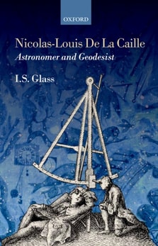
La Caille was one of the observational astronomers and geodesists who followed Newton in developing ideas about celestial mechanics and the shape of the earth.
La Caille was one of the observational astronomers and geodesists who followed Newton in developing ideas about celestial mechanics and the shape of the earth.
Geography in America at the Dawn of the 21st Century surveys American geographers' current research in their specialty areas and tracks trends and innovations in the many subfields of geography.
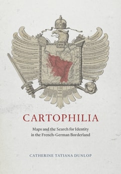
Mapping the Germans explores the development of statistical science and cartography in Germany between the beginning of the nineteenth century and the start of World War One, examining their impact on the German national identity.
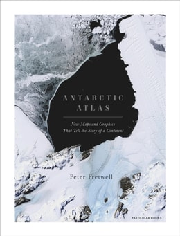
A FINANCIAL TIMES BOOK OF THE YEAR 2020SHORTLISTED FOR THE ESTWA AWARD FOR ILLUSTRATED TRAVEL BOOK OF THE YEAR 2022One of the least-known places on the planet, the only continent on earth with no indigenous population, Antarctica is a world apart.
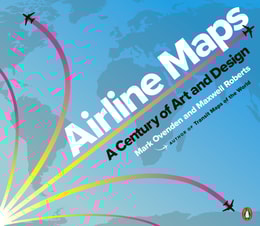
In this gorgeously illustrated collection of airline route maps, Mark Ovenden and Maxwell Roberts look to the skies and transport readers to another time.
THE EXTRAORDINARY TALE OF THE FATHER OF MODERN GEOLOGYHidden behind velvet curtains above a stairway in a house in London's Piccadilly is an enormous and beautiful hand-coloured map - the first geological map of anywhere in the world.
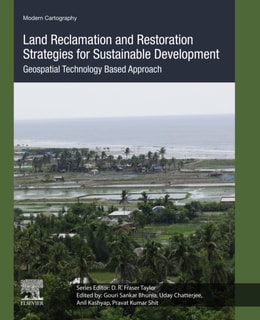
Land Reclamation and Restoration Strategies for Sustainable Development: Geospatial Technology Based Approach, Volume Ten covers spatial mapping, modeling and risk assessment in land hazards issues and sustainable management.
Adjustment Models in 3D Geomatics and Computational Geophysics: With MATLAB Examples, Volume Four introduces a complete package of theoretical and practical subjects in adjustment computations relating to Geomatics and geophysical applications, particularly photogrammetry, surveying, remote sensing, GIS, cartography, and geodesy.
Cybercartography in a Reconciliation Community: Engaging Intersecting Perspectives, Volume Eight gathers perspectives on issues related to reconciliation-primarily in a residential / boarding school context-and demonstrates the unifying power of Cybercartography by identifying intersections among different knowledge perspectives.
The collapse of the Soviet Union has seen the emergence of its unprecedentedly comprehensive global secret military mapping project and the commercial availability of a vast number of detailed topographic maps and city plans at several scales.
On October 23, 1852, Professor Augustus De Morgan wrote a letter to a colleague, unaware that he was launching one of the most famous mathematical conundrums in history--one that would confound thousands of puzzlers for more than a century.
Reflexive Cartography addresses the adaptation of cartography, including its digital forms (GIS, WebGIS, PPGIS), to the changing needs of society, and outlines the experimental context aimed at mapping a topological space.
Understanding Geology through Maps guides young professional geologists and students alike in understanding and interpreting the world's dynamic and varying geological landscapes through the liberal use of visual aids including figures, maps, and diagrams.
Analyzing more than 150 historical maps, this book traces the Jesuits' significant contributions to mapping and mapmaking from their arrival in the New World.
Sophisticated interactive maps are increasingly used to explore information - guiding us through data landscapes to provide information and prompt insight and understanding.
Theoretical and Applied Solutions in Multi Scale MappingUsers have come to expect instant access to up-to-date geographical information, with global coverage--presented at widely varying levels of detail, as digital and paper products; customisable data that can readily combined with other geographic information.
Land Reclamation and Restoration Strategies for Sustainable Development: Geospatial Technology Based Approach, Volume Ten covers spatial mapping, modeling and risk assessment in land hazards issues and sustainable management.
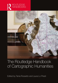
The Routledge Handbook of Cartographic Humanities offers a vibrant exploration of the intersection and convergence between map studies and the humanities through the multifaceted traditions and inclinations from different disciplinary, geographical and cultural contexts.
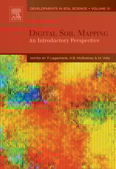
The book compiles the main ideas and methodologies that have been proposed and tested within these last fifteen years in the field of Digital Soil Mapping (DSM).
Floods and flash floods with hydro-meteorological and tropical cyclones are the some of the most devastating natural disasters causing massive damages to natural and man-made features.
Dynamic Point Symbols in Earthquake Mapping: Visualization Research in Space and Time examines how animated symbols enhance digital map comprehension, particularly for earthquake data visualization.
Dynamic Point Symbols in Earthquake Mapping: Visualization Research in Space and Time examines how animated symbols enhance digital map comprehension, particularly for earthquake data visualization.