As enlightening as The Facebook Effect, Elon Musk, and Chaos Monkeysthe compelling, behind-the-scenes story of the creation of one of the most essential applications ever devised, and the rag-tag team that built it and changed how we navigate the worldNever Lost Again chronicles the evolution of mapping technologythe "e;overnight success twenty years in the making.
An "e;entertaining [and] eminently readable"e; exploration of our home planet from the New York Times-bestselling author of Don't Know Much About History(Publishers Weekly).
This accessible text prepares students to understand and work with geographic information systems (GIS), offering a detailed introduction to essential theories, concepts, and skills.
Cybercartography in a Reconciliation Community: Engaging Intersecting Perspectives, Volume Eight gathers perspectives on issues related to reconciliation-primarily in a residential / boarding school context-and demonstrates the unifying power of Cybercartography by identifying intersections among different knowledge perspectives.
The goal of How to Make Maps is to equip readers with the foundational knowledge of concepts they need to conceive, design, and produce maps in a legible, clear, and coherent manner, drawing from both classical and modern theory in cartography.
The goal of How to Make Maps is to equip readers with the foundational knowledge of concepts they need to conceive, design, and produce maps in a legible, clear, and coherent manner, drawing from both classical and modern theory in cartography.
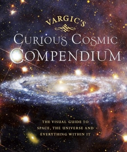
Take a trip to outer space with this weird and wonderful guide to our universe, the perfect gift for both young and old Vargic's beautifully innovative designs will help to explain all of the bizarre and fascinating aspects of the cosmos; from the history of the universe to what makes up our solar system and even how human life fits into the wider picture.
On October 23, 1852, Professor Augustus De Morgan wrote a letter to a colleague, unaware that he was launching one of the most famous mathematical conundrums in history--one that would confound thousands of puzzlers for more than a century.
A narrative history of the men and women who have explored Mars and mapped its surface from afar, and in so doing conditioned our understanding of our nearest planetary neighbour.
The advent of highly precise space-based geodetic techniques has led to the application of these techniques to the solution of global earth and ocean problems.
The National Spatial Data Infrastructure (NSDI) is the means to assemble geographic information that describes the arrangement and attributes of features and phenomena on the Earth.
Geographic data are used in all sectors of society to support a huge range of applications ranging from emergency response to land-use planning to location-based services.
Geographic data are used in all sectors of society to support a huge range of applications ranging from emergency response to land-use planning to location-based services.
An exploration of moral stress, distress, and injuries inherent in modern society through the maps that pervade academic and public communications worlds.
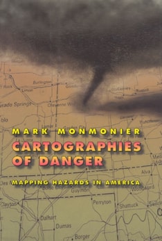
For years Mark Monmonier, "e;a prose stylist of no mean ability or charm"e; according to the Washington Post, has delighted readers with his insightful understanding of cartography as an art and technology that is both deceptive and revealing.
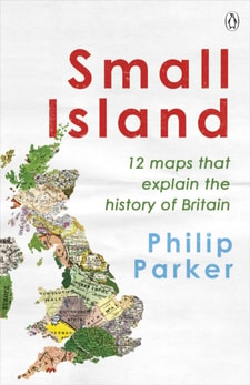
Discover the 12 crucial moments in Britain's past that will answer the greatest questions for our future in this richly insightful and fascinating history'A richly entertaining canter through the country's past.
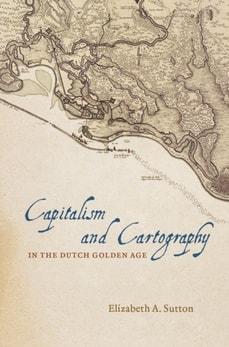
Though the political and intellectual history of mapmaking in the eighteenth century is well established, the details of its commercial revolution have until now been widely scattered.
Analyzing more than 150 historical maps, this book traces the Jesuits' significant contributions to mapping and mapmaking from their arrival in the New World.
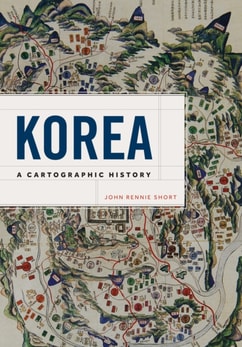
The first general history of Korea as seen through maps, Korea: A Cartographic History provides a beautifully illustrated introduction to how Korea was and is represented cartographically.
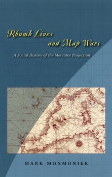
In Rhumb Lines and Map Wars, Mark Monmonier offers an insightful, richly illustrated account of the controversies surrounding Flemish cartographer Gerard Mercator's legacy.
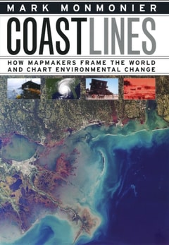
In the next century, sea levels are predicted to rise at unprecedented rates, causing flooding around the world, from the islands of Malaysia and the canals of Venice to the coasts of Florida and California.
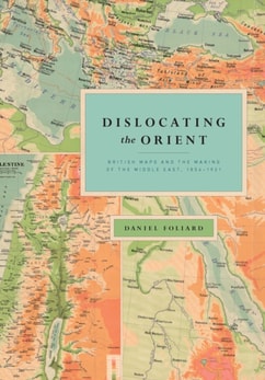
While the twentieth century's conflicting visions and exploitation of the Middle East are well documented, the origins of the concept of the Middle East itself have been largely ignored.
More than just colorful clickbait or pragmatic city grids, maps are often deeply emotional tales: of political projects gone wrong, budding relationships that failed, and countries that vanished.
Almost universally, newly independent states seek to affirm their independence and identity by making the production of new maps and atlases a top priority.
For anyone who has looked at a map of the United States and wondered how Texas and Oklahoma got their Panhandles, or flown over the American heartland and marveled at the vast grid spreading out in all directions below, American Boundaries will yield a welcome treasure trove of insight.
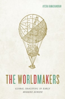
In this beautifully conceived book, Ayesha Ramachandran reconstructs the imaginative struggles of early modern artists, philosophers, and writers to make sense of something that we take for granted: the world, imagined as a whole.
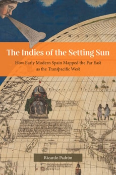
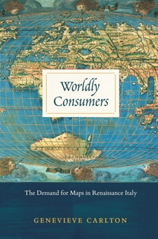
Though the practical value of maps during the sixteenth century is well documented, their personal and cultural importance has been relatively underexamined.
For years Mark Monmonier, "e;a prose stylist of no mean ability or charm"e; according to the Washington Post, has delighted readers with his insightful understanding of cartography as an art and technology that is both deceptive and revealing.