Modern geographic information systems technology has transformed spatial data handling capabilities and made it necessary for governments to rethink their roles with respect to the supply and availability of geographic information.
Remote Sensing of Impervious Surfaces in Tropical and Subtropical Areas offers a complete and thorough system for using optical and synthetic aperture radar (SAR) remote sensing data for improving impervious surface estimation (ISE).
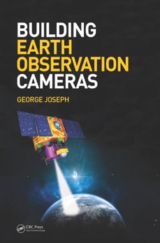
Increasingly, in the field of earth observation imagery, there is a need for image quality to be assessable in traceable Standard International Units (SIU), and for the standardization of common mapping projections.
Understanding spatial statistics requires tools from applied and mathematical statistics, linear model theory, regression, time series, and stochastic processes.
This text reflects the interdisciplinary nature of GIS research and includes coverage of such themes as: virtual GIS; spatial analysis; artificial intelligence; spatial agents and fuzzy systems; and space-time GIS and GIS applications.
The text develops the principal aspects of applied Fourier analysis and methodology with the main goal to inculcate a different way of perceiving global and regional geodetic and geophysical data, namely from the perspective of the frequency, or spectral, domain rather than the spatial domain.
Four unique pan-European CORINE Land Cover datasets-CLC1990, CLC2000, CLC2006, and CLC2012- and three datasets concerning changes between 1990 and 2012 have presented the first-ever opportunity to observe the European landscape by means of land cover and its change.
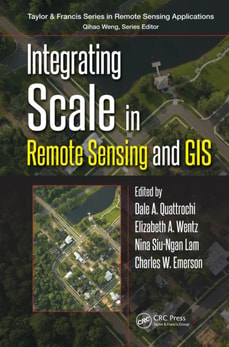
Integrating Scale in Remote Sensing and GIS serves as the most comprehensive documentation of the scientific and methodological advances that have taken place in integrating scale and remote sensing data.
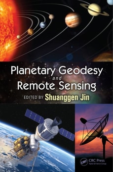
Although lunar exploration began in the 1960s, the moon and other planets have many long-standing, unanswered questions about planetary environments, origin, formation and evolution, magnetization of crustal rocks, internal structure, and possible life.
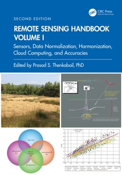
Volume I of the Six Volume Remote Sensing Handbook, Second Edition, is focused on satellites and sensors including radar, light detection and ranging (LiDAR), microwave, hyperspectral, unmanned aerial vehicles (UAVs), and their applications.
Statistical Mining and Data Visualization in Atmospheric Sciences brings together in one place important contributions and up-to-date research results in this fast moving area.
Open Source GIS: A GRASS GIS Approach was written for experienced GIS users, who want to learn GRASS, as well as for the Open Source software users who are GIS newcomers.
The climate over the Indian subcontinent is influenced by complex interactions between the atmosphere, ocean, and land, along with human interventions that are influencing heat extremes, changing monsoon patterns, sea-level rise, and posing serious threats to lives and livelihoods among populations in India.
Geographic information systems (GIS) have become increasingly important in helping us understand complex social, economic, and natural dynamics where spatial components play a key role.
Geographic information systems (GIS) have become increasingly important in helping us understand complex social, economic, and natural dynamics where spatial components play a key role.
South and Southeast Asian countries are experiencing rapid land cover and land use changes (LCLUC) due to urbanization, agricultural expansion, deforestation, and infrastructure development.
Geographical information systems (GIS) are powerful tools for reporting on the environment, natural resources and social and economic development; modelling the environmental, biophysical, social and economic processes; assessing environmental and social impacts; evaluating environmental, social and economic policies and actions and dissimilating spatial information.
This comprehensive textbook identifies the emerging legal, policy, and ethical considerations associated with the collection, analysis, storage, and distribution of data that can be tied to location on Earth - otherwise known as "e;geospatial information.
We need to understand how to utilize Geospatial Research in order to help us solve problems in environmental, life science, and defense industries, as well as intelligence, natural resources, medical and public safety industries.
We need to understand how to utilize Geospatial Research in order to help us solve problems in environmental, life science, and defense industries, as well as intelligence, natural resources, medical and public safety industries.
With the emergence of compressive sensing and sparse signal reconstruction, approaches to urban radar have shifted toward relaxed constraints on signal sampling schemes in time and space, and to effectively address logistic difficulties in data acquisition.
Based on the experiences of the Department of Information Engineering of the University of Pisa and the Radar and Surveillance System (RaSS) national laboratory of the National Interuniversity Consortium of Telecommunication (CNIT), Radar Imaging for Maritime Observation presents the most recent results in radar imaging for maritime observation.
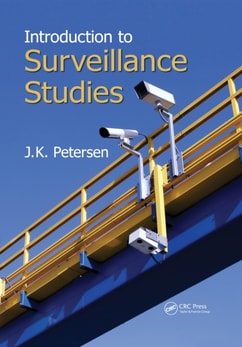
From officially sanctioned, high-tech operations to budget spy cameras and cell phone video, this updated and expanded edition of a bestselling handbook reflects the rapid and significant growth of the surveillance industry.
A guide for students and professionals, this introductory course book covers the basic principles of remote sensing and its applications in mine environment monitoring.
A guide for students and professionals, this introductory course book covers the basic principles of remote sensing and its applications in mine environment monitoring.
Radar Hydrology: Principles, Models, and Applications provides graduate students, operational forecasters, and researchers with a theoretical framework and practical knowledge of radar precipitation estimation.
Under threat from natural and human disturbance, tropical dry forests are the most endangered ecosystem in the tropics, yet they rarely receive the scientific or conservation attention they deserve.
Synthetic aperture radar (SAR) is a well-known remote sensing technique, but conventional single-antenna SAR is inherently limited by the minimum antenna area constraint.
A balanced review of differing approaches based on remote sensing tools and methods to assess and monitor biodiversity, carbon and water cycles, and the energy balance of terrestrial ecosystem.
A revision of Openshaw and Abrahart's seminal work, GeoComputation, Second Edition retains influences of its originators while also providing updated, state-of-the-art information on changes in the computational environment.
Designed to be a high-level, approachable resource for engineers who need further insight into spatial temporal information systems from an ontological perspective, Spatial Temporal Information Systems: An Ontological Approach using STK(R) explains the dynamics of objects interaction from signal analysis to trajectory design, spatial modeling, and other spatial analytics by using STK(R), which is a general-purpose modeling and analysis application for any type of space, defense, or intelligence system.
Now in a fully revised and expanded second edition, this widely adopted text and practical reference addresses all aspects of developing and using geographic information systems (GIS) within an organization.
This accessible text prepares students to understand and work with geographic information systems (GIS), offering a detailed introduction to essential theories, concepts, and skills.
Recent years have seen an explosive growth in the use of new database applications such as CAD/CAM systems, spatial information systems, and multimedia information systems.
Geographic Information Systems (GIS) have been experiencing a steady and unprecedented growth in terms of general interest, theory development, and new applications in the last decade or so.