The Routledge Handbook of Regional Design explores contemporary research, policy, and practice that highlight critical aspects of strategy-making, planning, and designing for contemporary regions-including city regions, bioregions, delta regions, and their hybrids.
This book is based on the authors' extensive involvement in Synthetic Aperture Radar (SAR) mapping projects, targeting the health of an earth ecosystem with great relevance for climate change studies: the tropical forests.
This book is based on the authors' extensive involvement in Synthetic Aperture Radar (SAR) mapping projects, targeting the health of an earth ecosystem with great relevance for climate change studies: the tropical forests.
Re-envisioning Remote Sensing Applications: Perspectives from Developing Countries aims at discussing varied applications of remote sensing, with respect to upcoming technologies with diverse themes.
Re-envisioning Remote Sensing Applications: Perspectives from Developing Countries aims at discussing varied applications of remote sensing, with respect to upcoming technologies with diverse themes.
Rapid changes in land use, especially in growing metropolitan areas, have created problems that increasingly indicate an urgent need for techniques and procedures for making intelligent land-use decisions.
Since the emergence of contemporary area classifications, population geography has witnessed a renaissance in the area of policy related spatial analysis.
Since the emergence of contemporary area classifications, population geography has witnessed a renaissance in the area of policy related spatial analysis.
Social Sensing and Big Data Computing for Disaster Management captures recent advancements in leveraging social sensing and big data computing for supporting disaster management.
Social Sensing and Big Data Computing for Disaster Management captures recent advancements in leveraging social sensing and big data computing for supporting disaster management.
Geographical Information System and Crime Mapping features a diverse array of Geographic Information System (GIS) applications in crime analysis, from general issues such as GIS as a communication process, interjurisdictional mapping and data sharing to specific applications in tracking serial killers and predicting violence-prone zones.
Geographical Information System and Crime Mapping features a diverse array of Geographic Information System (GIS) applications in crime analysis, from general issues such as GIS as a communication process, interjurisdictional mapping and data sharing to specific applications in tracking serial killers and predicting violence-prone zones.
This title takes the broadest possible scope to interrogate the emergence of "e;platform urbanism"e;, examining how it transforms urban infrastructure, governance, knowledge production, and everyday life, and brings together leading scholars and early-career researchers from across five continents and multiple disciplines.
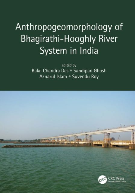
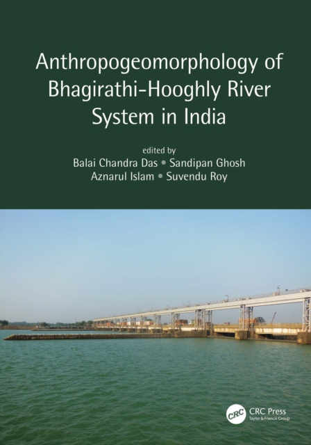
The Bhagirathi-Hooghly Basin in India is one of the most densely populated regions in the world and is undergoing rapid transformation of its natural landscape induced by human interventions, such as mushrooming of dams and barrages, deforestation, and urbanization.
The Bhagirathi-Hooghly Basin in India is one of the most densely populated regions in the world and is undergoing rapid transformation of its natural landscape induced by human interventions, such as mushrooming of dams and barrages, deforestation, and urbanization.
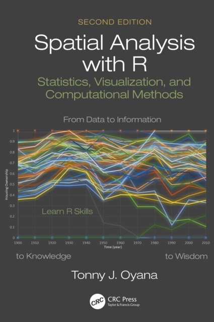
In the five years since the publication of the first edition of Spatial Analysis: Statistics, Visualization, and Computational Methods, many new developments have taken shape regarding the implementation of new tools and methods for spatial analysis with R.
This text is the inaugural book in Taylor and Francis's GISDATA series, and is derived from the specialist workshop convened under the auspices of the European Science Foundation's GISDATA Scientific Programme.
Current geographical information systems GIS deal almost exclusively with well-defined, static geographical objects ranging from physical landscapes to towns and transport systems.
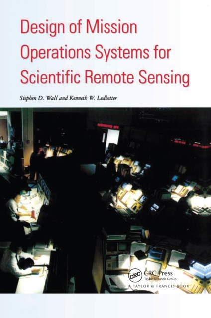
A definitive description of the various models of mission operations systems MOS which provides an account of the design process and of the general principles of the designs themselves.
Physical Nonequilibrium in Soils provides cutting-edge knowledge on physical nonequilibrium phenomena in soils, offering unique insight into the complexity of our physical world.
This is the fifth and last volume representing the proceedings of the International Conference on Water Resources Management in Arid Regions held March 23rd-27th 2002 in Kuwait.
Soil degradation has serious global impacts on agronomic, economic, and sociopolitical conditions, however, statistics regarding the degree of these impacts has been largely unreliable.
A definitive description of the various models of mission operations systems MOS which provides an account of the design process and of the general principles of the designs themselves.