Current geographical information systems GIS deal almost exclusively with well-defined, static geographical objects ranging from physical landscapes to towns and transport systems.
This text is the inaugural book in Taylor and Francis's GISDATA series, and is derived from the specialist workshop convened under the auspices of the European Science Foundation's GISDATA Scientific Programme.
Physical Nonequilibrium in Soils provides cutting-edge knowledge on physical nonequilibrium phenomena in soils, offering unique insight into the complexity of our physical world.
This is the fifth and last volume representing the proceedings of the International Conference on Water Resources Management in Arid Regions held March 23rd-27th 2002 in Kuwait.
Soil degradation has serious global impacts on agronomic, economic, and sociopolitical conditions, however, statistics regarding the degree of these impacts has been largely unreliable.
This book covers the state-of-art image classification methods for discrimination of earth objects from remote sensing satellite data with an emphasis on fuzzy machine learning and deep learning algorithms.
This book covers the state-of-art image classification methods for discrimination of earth objects from remote sensing satellite data with an emphasis on fuzzy machine learning and deep learning algorithms.
Bringing together a wealth of knowledge, Environmental Management Handbook, Second Edition, gives a comprehensive overview of environmental problems, their sources, their assessment, and their solutions.
Bringing together a wealth of knowledge, Environmental Management Handbook, Second Edition, gives a comprehensive overview of environmental problems, their sources, their assessment, and their solutions.
Bringing together a wealth of knowledge, Environmental Management Handbook, Second Edition, gives a comprehensive overview of environmental problems, their sources, their assessment, and their solutions.
This book shows the effectiveness of DRASTIC model in a geographical setting for validation of vulnerable zones and presents the optimization of parameters for the development of precise maps highlighting several zones with varied contamination.
This volume contains a selection of peer-reviewed papers presented at the International Scientific and Professional Conference Geodesy, Cartography and Geoinformatics 2019 (GCG 2019).
This volume contains a selection of peer-reviewed papers presented at the International Scientific and Professional Conference Geodesy, Cartography and Geoinformatics 2019 (GCG 2019).
This book showcases new empirical findings on the conceptualization, design, and evaluation of land management interventions and addresses two crucial aspects: how and under which conditions such interventions are responsible, and how such interventions can be supported by smart technologies.
This book showcases new empirical findings on the conceptualization, design, and evaluation of land management interventions and addresses two crucial aspects: how and under which conditions such interventions are responsible, and how such interventions can be supported by smart technologies.
This book shows the effectiveness of DRASTIC model in a geographical setting for validation of vulnerable zones and presents the optimization of parameters for the development of precise maps highlighting several zones with varied contamination.
This book uses spatio-temporal analysis to understand urbanisation in Indian cities and explain the concept and impact of global greenhouse gas (GHG) emissions.
This book uses spatio-temporal analysis to understand urbanisation in Indian cities and explain the concept and impact of global greenhouse gas (GHG) emissions.
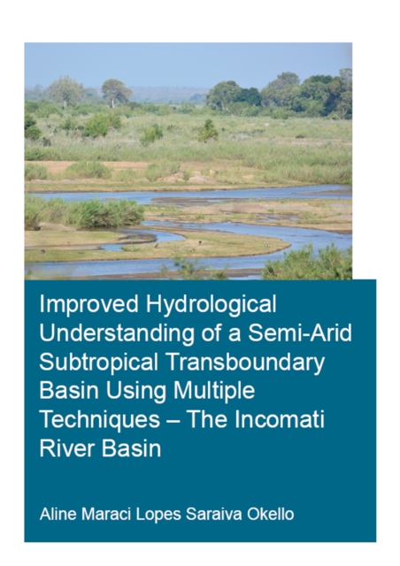
This study aims at improving the hydrological process understanding of the semi-arid and transboundary Incomati river basin to enable better water management.
Advanced Quantitative Research Methods for Urban Planners provides fundamental knowledge and hands-on techniques about research, such as research topics and key journals in the planning field, advice for technical writing, and advanced quantitative methodologies.
Advanced Quantitative Research Methods for Urban Planners provides fundamental knowledge and hands-on techniques about research, such as research topics and key journals in the planning field, advice for technical writing, and advanced quantitative methodologies.
This study aims at improving the hydrological process understanding of the semi-arid and transboundary Incomati river basin to enable better water management.
Engineering surveying involves determining the position of natural and man-made features on or beneath the Earth's surface and utilizing these features in the planning, design and construction of works.
This book, the result of a AAAS symposium organized to explore the ramifications of tropical deforestation, emphasizes the relationship of biosphere to troposphere, aiming to set tropical forest ecology in the context of the global ecosystem.
The International Mining Forum is a recurring event, hosted by the University of Science and Technology in Cracow, Poland, bringing together an international group of scientists, including those working in rock mechanics and computer engineering as well as mining engineers.
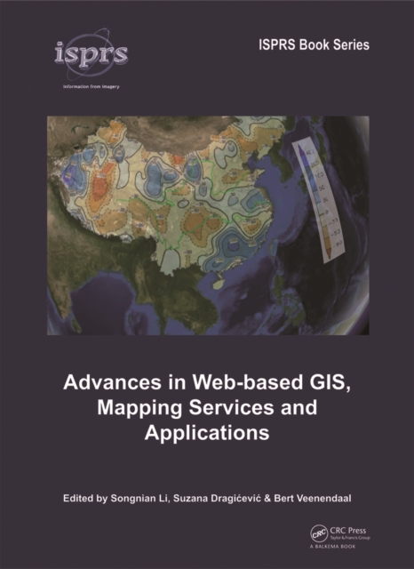
Advances in Web-based GIS, Mapping Services and Applications is published as part of ISPRS WG IV/5 effort, and aims at presenting (1) Recent technological advancements, e.
This book, the result of a AAAS symposium organized to explore the ramifications of tropical deforestation, emphasizes the relationship of biosphere to troposphere, aiming to set tropical forest ecology in the context of the global ecosystem.