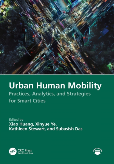
This comprehensive handbook covers human mobility within urban contexts, integrating academic theories with pragmatic insights and offering a detailed analysis of the diverse facets of human mobility and its substantial impact on the urban landscape, economy, and societal structures.
This book describes the contributing aspects of contemporary developments related to sustainable agricultural resources and assessment of sustainable agriculture in developing nations.
Using a selection of archaeological cases studies from the Roman period in the Mediterranean region, Pedro Trapero Fern ndez shows how GIS technologies can be employed in the creation of spatial models to reproduce historical realities.
This book provides a comprehensive introduction about recent state-of-the-art advancements in Open GIS, including Open GIS data, services, software, and libraries for GIS programming.
Geodesign, Urban Digital Twins, and Futures explores systems, processes, and novel technologies for planning, mapping, and designing our built environment.
This book attempts to move the family of squirrels (Sciuridae) out of the shadow of large charismatic mammals and to highlight management failures with the goal of moving towards an improved conservation approach.
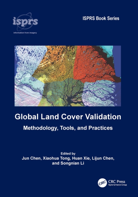
This book aims to summarize and report the major research achievements and validation results under the global land cover (GLC) initiative led by the Group Earth Observation (GEO).
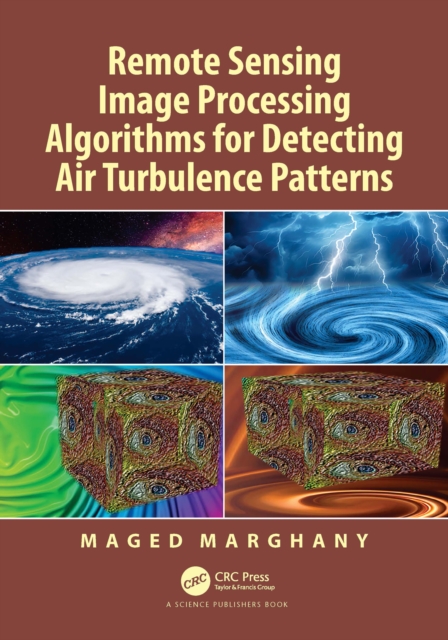
Injuries due to air turbulence has increased recently, therefore there is considerable concern and interest in understanding and detecting it more accurately.
Guidelines for Surveying Soil and Land Resources promotes the development and implementation of consistent methods and standards for conducting soil and land resource surveys in Australia.
This book attempts to move the family of squirrels (Sciuridae) out of the shadow of large charismatic mammals and to highlight management failures with the goal of moving towards an improved conservation approach.
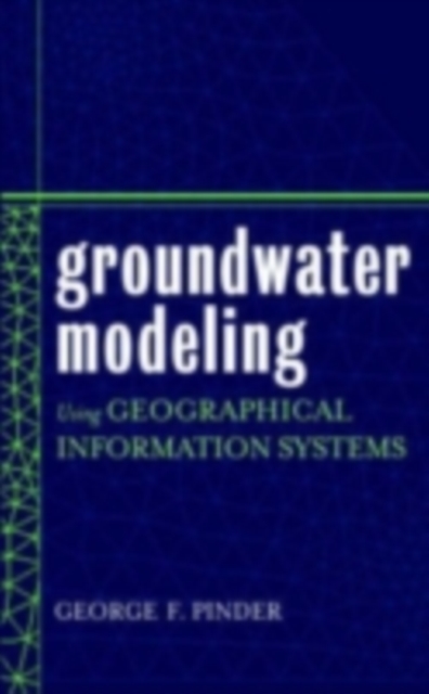
Cutting-edge techniques for groundwater modeling using GIS technology Groundwater Modeling Using Geographical Information Systems covers fundamental information on flow and mass transport modeling and demonstrates how GIS technology makes these models and analyses more accurate than ever before.
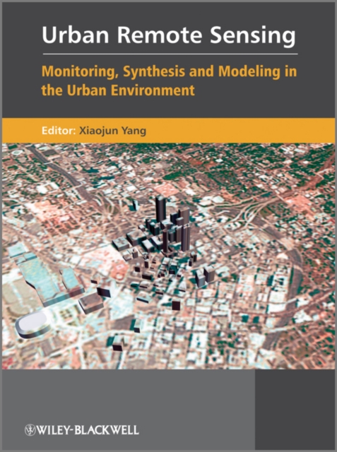
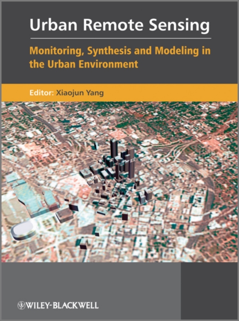
Urban Remote Sensing is designed for upper level undergraduates, graduates, researchers and practitioners, and has a clear focus on the development of remote sensing technology for monitoring, synthesis and modeling in the urban environment.
Urban Remote Sensing is designed for upper level undergraduates, graduates, researchers and practitioners, and has a clear focus on the development of remote sensing technology for monitoring, synthesis and modeling in the urban environment.
Kernel methods have long been established as effective techniques in the framework of machine learning and pattern recognition, and have now become the standard approach to many remote sensing applications.
Essential Image Processing and GIS for Remote Sensing is an accessible overview of the subject and successfully draws together these three key areas in a balanced and comprehensive manner.
This fourth and full colour edition updates and expands a widely-used textbook aimed at advanced undergraduate and postgraduate students taking courses in remote sensing and GIS in Geography, Geology and Earth/Environmental Science departments.
This title focuses on the evolution of the modeling process and on new research perspectives in theoretical and applied geography, as well as spatial planning.
An easy-to-understand reference for navigating through geographic information systems (GIS) GIS (geographic information system) is a totally cool technology that has been called "e;geography on steroids.
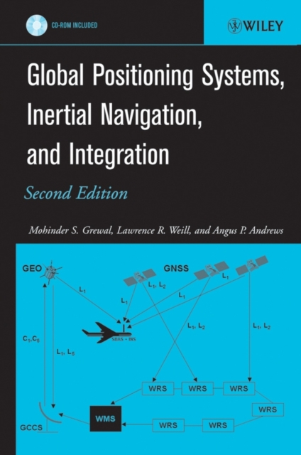
An updated guide to GNSS and INS, and solutions to real-world GPS/INS problems with Kalman filtering Written by recognized authorities in the field, this second edition of a landmark work provides engineers, computer scientists, and others with a working familiarity with the theory and contemporary applications of Global Navigation Satellite Systems (GNSS), Inertial Navigational Systems (INS), and Kalman filters.
Understanding and predicting the behaviour of natural and human environmental systems is crucial for the effective management of the Earth s limited resources.
This edited volume takes a comprehensive look at solid waste management across jurisdictions in Canada, including provinces, territories, municipalities, and Indigenous communities.
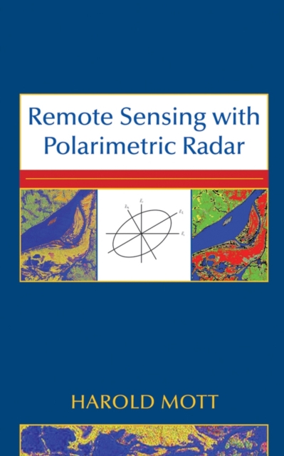
Discover the principles and techniques of remote sensing with polarimetric radar This book presents the principles central to understanding polarized wave transmission, scattering, and reception in communication systems and polarimetric and non-polarimetric radar.
Self-Organising Maps: Applications in GI Science brings together the latest geographical research where extensive use has been made of the SOM algorithm, and provides readers with a snapshot of these tools that can then be adapted and used in new research projects.
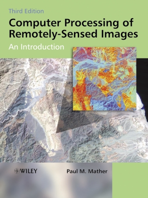
Remotely-sensed images of the Earth's surface provide a valuable source of information about the geographical distribution and properties of natural and cultural features.
In Geography and GIS, surfaces can be analysed and visualised through various data structures, and topological data structures describe surfaces in the form of a relationship between certain surface-specific features.
'Geographical information science' is not merely a technical subject but also poses theoretical questions on the nature of geographic representation and whether there exist limits on the ability of GI systems to deal with certain objects and issues.
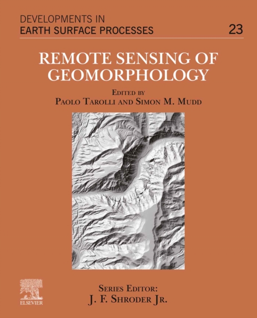
Remote Sensing of Geomorphology, Volume 23, discusses the new range of remote-sensing techniques (lidar, structure from motion photogrammetry, advanced satellite platforms) that has led to a dramatic increase in terrain information, and as such provided new opportunities for a better understanding of surface morphology and related Earth surface processes.
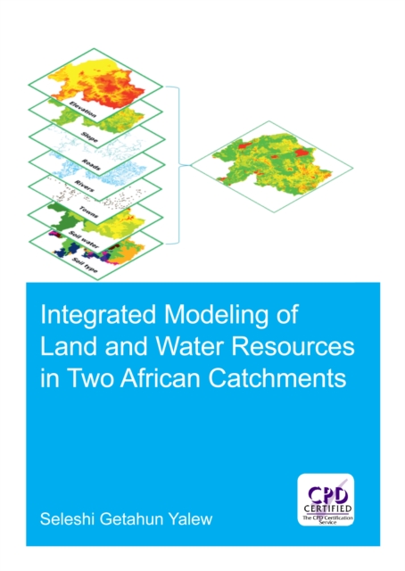
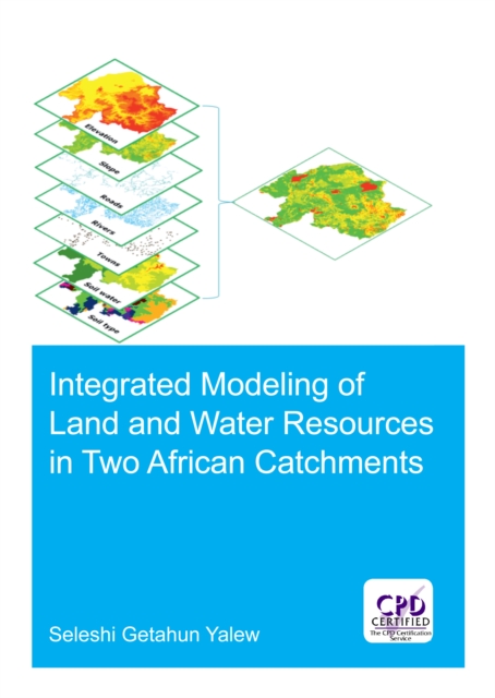
Demand for land and water for agriculture, urbanization, irrigation, hydropower, and industrialization is increasing to meet the demands of growing populations and of growing economies.
Demand for land and water for agriculture, urbanization, irrigation, hydropower, and industrialization is increasing to meet the demands of growing populations and of growing economies.