Volume I of Geospatial Information Handbook for Water Resources and Watershed Management discusses fundamental characteristics, measurements, and analyses of water features and watersheds including lakes and reservoirs, rivers and streams, and coasts and estuaries.
Volume II of Geospatial Information Handbook for Water Resources and Watershed Management discusses Geospatial Technology (GT) approaches using integrated modeling as applied to advanced water resource assessments.
Volume II of Geospatial Information Handbook for Water Resources and Watershed Management discusses Geospatial Technology (GT) approaches using integrated modeling as applied to advanced water resource assessments.
Volume I of Geospatial Information Handbook for Water Resources and Watershed Management discusses fundamental characteristics, measurements, and analyses of water features and watersheds including lakes and reservoirs, rivers and streams, and coasts and estuaries.
Volume III of Geospatial Information Handbook for Water Resources and Watershed Management discusses water and watershed issues such as water quality, evapotranspiration, water resource management, and ecological services.
The concept of a "e;smart city"e; is used widely in general; however, it is hard to explain because of the complexity and multidimensionality of this notion.
The concept of a "e;smart city"e; is used widely in general; however, it is hard to explain because of the complexity and multidimensionality of this notion.
Volume 2: Handbook of Spatio-Temporal Monitoring of Water Resources and Climate is aimed to describe the current state of knowledge and developments of geospatial technologies (Remote Sensing and Geographic Information Systems) for assessing and managing water resources under climate change.
Volume 2: Handbook of Spatio-Temporal Monitoring of Water Resources and Climate is aimed to describe the current state of knowledge and developments of geospatial technologies (Remote Sensing and Geographic Information Systems) for assessing and managing water resources under climate change.
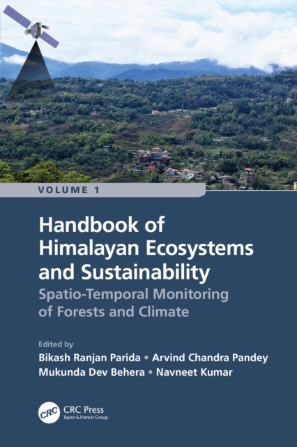
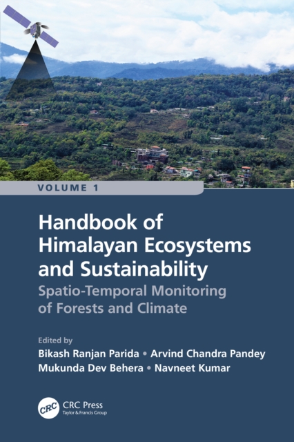
Volume 1: Spatio-Temporal Monitoring of Forests and Climate is aimed to describe the recent progress and developments of geospatial technologies (remote sensing and GIS) for assessing, monitoring and managing fragile Himalayan ecosystems and their sustainability under climate change.
Volume 1: Spatio-Temporal Monitoring of Forests and Climate is aimed to describe the recent progress and developments of geospatial technologies (remote sensing and GIS) for assessing, monitoring and managing fragile Himalayan ecosystems and their sustainability under climate change.
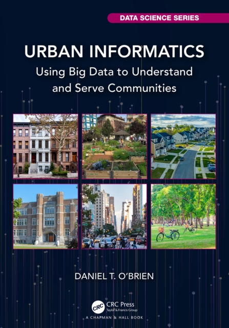
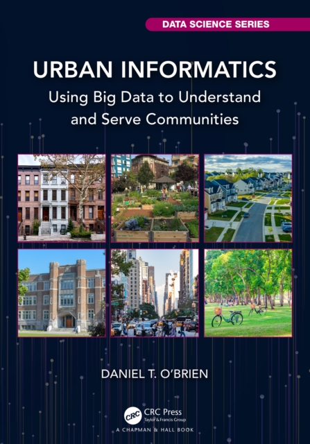
Urban Informatics: Using Big Data to Understand and Serve Communities introduces the reader to the tools of data management, analysis, and manipulation using R statistical software.
Urban Informatics: Using Big Data to Understand and Serve Communities introduces the reader to the tools of data management, analysis, and manipulation using R statistical software.
Originally published in 1993, Active Lavas looks at the practical aspects of monitoring uncontrolled streams of molten rock and how field data can be applied for theoretical modelling and forecasting the growth of lava flows.
Originally published in 1993, Active Lavas looks at the practical aspects of monitoring uncontrolled streams of molten rock and how field data can be applied for theoretical modelling and forecasting the growth of lava flows.
The so-called Fourth Industrial Revolution has prompted companies to adapt to a new business paradigm based on digital interconnection and the ability to respond quickly to the needs of consumers and users.
The so-called Fourth Industrial Revolution has prompted companies to adapt to a new business paradigm based on digital interconnection and the ability to respond quickly to the needs of consumers and users.
This book offers a comprehensive overview of recent research on the internet, emphasizing its spatial dimensions, geospatial applications, and the numerous social and geographic implications such as the digital divide and the mobile internet.
This book offers a comprehensive overview of recent research on the internet, emphasizing its spatial dimensions, geospatial applications, and the numerous social and geographic implications such as the digital divide and the mobile internet.
This volume offers detailed comparisons and validations of different methods of assessing groundwater vulnerability (DRASTIC, GOD, PI, RTt, AVI, SINTACS, COP).
This volume offers detailed comparisons and validations of different methods of assessing groundwater vulnerability (DRASTIC, GOD, PI, RTt, AVI, SINTACS, COP).
Originally published in 1984, Themes in Biogeography presents a broad examination of biogeographical themes, extending across the field of plant and animal ecology and geography.
Originally published in 1984, Themes in Biogeography presents a broad examination of biogeographical themes, extending across the field of plant and animal ecology and geography.
Object Detection with Deep Learning Models discusses recent advances in object detection and recognition using deep learning methods, which have achieved great success in the field of computer vision and image processing.
Object Detection with Deep Learning Models discusses recent advances in object detection and recognition using deep learning methods, which have achieved great success in the field of computer vision and image processing.
Originally published in 1974, was a pioneering study which summarized, within the pre-existing framework of atmospheric knowledge, the more significant findings that emerged from the first decade of climatological analyses of meteorological satellite data.
Originally published in 1974, was a pioneering study which summarized, within the pre-existing framework of atmospheric knowledge, the more significant findings that emerged from the first decade of climatological analyses of meteorological satellite data.
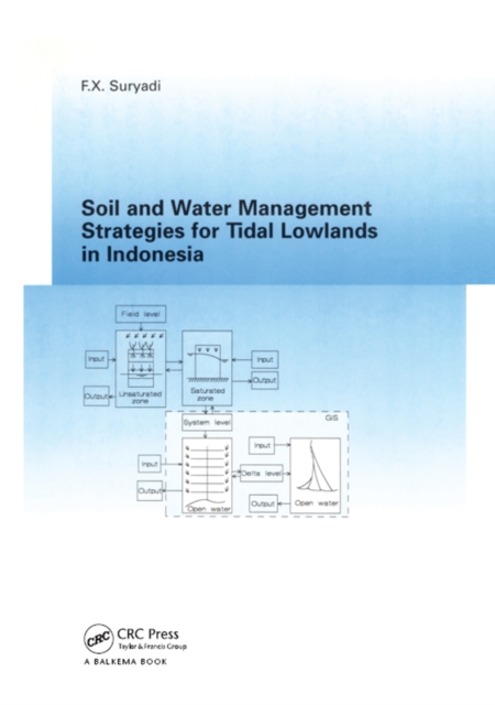
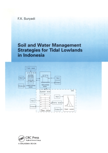
This book presents a methodology to support the development of soil and water management strategies for tidal lowlands in general and Indonesian tidal lowlands in particular.
GIS projects have previously been viewed primarily as technical exercises but it is now evident that the success of GIS projects depends as much upon organisational issues as upon technicalities.
Large-Scale 3D Data Integration: Challenges and Opportunities examines the fundamental aspects of 3D geo-information, focusing on the latest developments in 3D GIS (geographic information) and AEC (architecture, engineering, construction) systems.