A practical book for those engaged in marine surveying and charting activities who must acquire, process and present data for hydrographic or engineering purposes.
The present publication focusses the attention on new avenues in regional information and knowledge management, while we will zoom in particularly on the potential promises and hurdles of digital technology.
This book summarizes four decades of glacial-geomorphological field research in Central and High Asia in an attempt to draw a significant link between Quaternary science research and paleoclimatology.
This book presents a select set of papers from an international and multidisciplinary approach, outlining the vanguard in the field of methodology, tools, and evaluation of the movement towards urban resilience.
This book provides contributions from leading experts on the integration of novel sensing technologies to yield unprecedented observations of coupled biological, chemical, and physical processes in the ocean from the macro to micro scale.
This book is intended for researchers, practitioners and students who are interested in the current trends and want to make their GI applications and research dynamic.
This book illustrates the first connection between the map user community and the developers of digital map processing technologies by providing several applications, challenges, and best practices in working with historical maps.
Over the last thirty years or so, there have been tremendous advancements in the area of geospatial health; however, somehow, two aspects have not received as much attention as they should have received.
This two-volume set highlights the importance of Iberian shipbuilding in the centuries of the so-called first globalization (15th to 18th), in confluence with an unprecedented extension of ocean navigation and seafaring and a greater demand for natural resources (especially timber), mostly oak (Quercus spp.
This third edition expands upon the earlier edition by adding nearly 40 pages of new material reflecting the analytical and numerical progress in inverse problems in last 10 years.
This second edition includes updated chapters from the first edition as well as five additional new chapters (Light detection and ranging (LiDAR), CORONA historical de-classified products, Unmanned Aircraft Vehicles (UAVs), GNSS-reflectometry and GNSS applications to climate variability), shifting the main focus from monitoring and management to extreme hydro-climatic and food security challenges and exploiting big data.
This book gives a comprehensive view of the strengths and limits of the interdisciplinary methods that work together to form the geohistorical approach to geographical and geological sciences.
This volume contains the proceedings from the COSPAR Colloquium on "e;Space Remote Sensing of Subtropical Oceans"e; which took place between 12 and 16 September, 1996, at the Institute of Oceanography of the National Taiwan University.
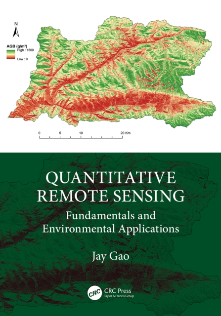
This book provides comprehensive and in-depth explanations of all topics related to quantitative remote sensing and its applications in terrestrial, biospheric, hydrospheric, and atmospheric studies.
Policy Issues in Modern Cartography contains the views of national mapping agencies, legal scholars, the library community, the private sector and academia on these and many other important issues.
The Global Ocean Observing System (GOOS) is an international programme for a permanent global framework of observations, modelling and analysis of ocean variables that are needed to support operational services around the world.
Arc welding is one of the key processes in industrial manufacturing, with welders using two types of processes - gas metal arc welding (GMAW) and gas tungsten arc welding (GTAW).
This book addresses the growing demand for applied experiences that move students beyond learning into the realm of doing by supporting the development of skills and competencies that align with emerging areas of innovation and work.
This volume documents the techniques for geochemical remote sensing of the subsurface, to present case-history evidence of their successes and limitations, and to consider their further potential.
This accessible shortform book describes storm surge forecasting to enable port managers and practitioners to forecast these and mitigate their effects.
Land Reclamation and Restoration Strategies for Sustainable Development: Geospatial Technology Based Approach, Volume Ten covers spatial mapping, modeling and risk assessment in land hazards issues and sustainable management.
Teaching Mathematics Using Interactive Mapping offers novel ways to learn basic math topics such as simple relational measures or measuring hierarchies through customized interactive mapping activities.
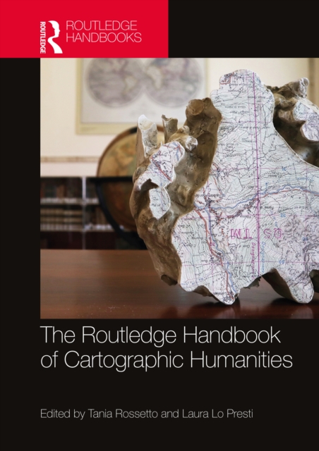
The Routledge Handbook of Cartographic Humanities offers a vibrant exploration of the intersection and convergence between map studies and the humanities through the multifaceted traditions and inclinations from different disciplinary, geographical and cultural contexts.
Harness the powerful Python programming language to navigate the realms of geographic information systems, remote sensing, topography, and more, while embracing a guiding framework for effective geospatial analysisKey FeaturesCreate GIS solutions using the new features introduced in Python 3.
Wave Fields in Real Media examines the differences between an ideal and a real description of wave propagation, where ideal means an elastic (lossless), isotropic and single-phase medium, and real means an anelastic, anisotropic and multi-phase medium.
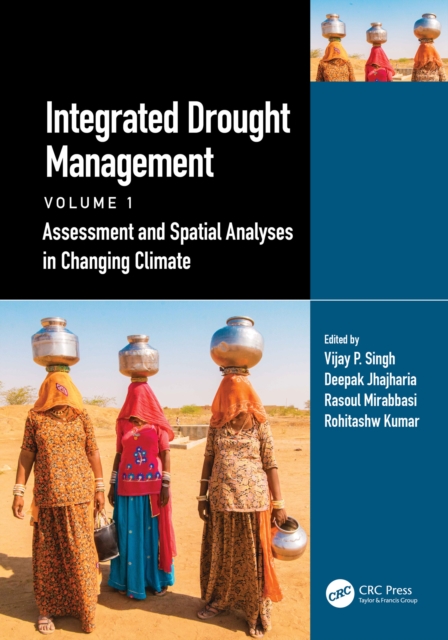
The first volume of this comprehensive global perspective on Integrated Drought Management is focused on understanding drought, causes, and the assessment of drought impacts.
The first volume of this comprehensive global perspective on Integrated Drought Management is focused on understanding drought, causes, and the assessment of drought impacts.
This book seeks to showcase the ongoing challenges of water resource and its management through innovative and cutting-edge approaches (flooding and droughts and their respective impacts; spatial and urban planning; early warning systems; estimation of losses; water resource in the age of global climate change; risk communication; meteorology; integrated analysis; risk mitigation; infrastructures; nature-based management; watershed management; transport; legal assessment; vulnerability analysis; public participation; or case studies).
This book provides a practical perspective of all the processes involved in estimating mineral resources and reserves, including mine-to-mill reconciliation.
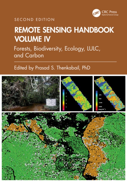
Volume IV of the Six Volume Remote Sensing Handbook, Second Edition, is focused on the use of remote sensing in forestry, biodiversity, ecology, land use and land cover, and global terrestrial carbon mapping and monitoring.