Floods and flash floods with hydro-meteorological and tropical cyclones are the some of the most devastating natural disasters causing massive damages to natural and man-made features.
This book provides two conceptual frameworks for further investigation of map literacy and fills in a gap in map literacy studies, addressing the distinction between reference maps and thematic maps and the varying uses of quantitative map literacy (QML) within and between the two.
GNSS Monitoring of the Terrestrial Environment: Earthquakes, Volcanoes, and Climate Change presents the application of GNSS technologies to natural hazards on Earth.
The smart city movement, during the last decade and a half, advocated the built environment and digital technology convergence with the backing of institutional capital and government support.
This book investigates the added value that satellite technologies and remote sensing could provide for a more sustainable mapping, monitoring and management of heritage sites, be it for purposes of regular maintenance or for risk mitigation in case of natural or man-caused hazards.
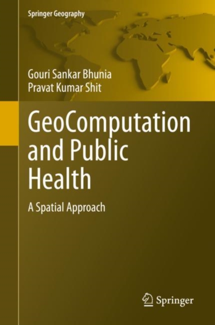
GeoComputation and Public Health is fundamentally a multi-disciplinary book, which presents an overview and case studies to exemplify numerous methods and solicitations in addressing vectors borne diseases (e.
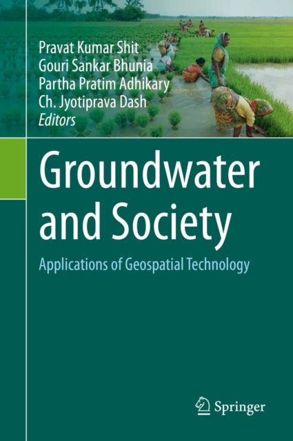
This volume advances the scientific understanding, development, and application of geospatial technologies related to groundwater resource management, mapping, monitoring, and modelling using up-to-date remote sensing and GIS techniques.
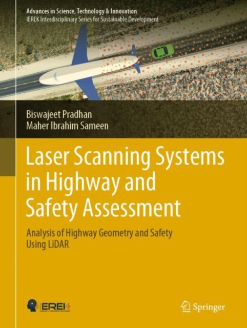
This book aims to promote the core understanding of a proper modelling of road traffic accidents by deep learning methods using traffic information and road geometry delineated from laser scanning data.
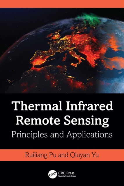
This book systematically and comprehensively introduces concepts, theories, principles, and applications of Thermal Infrared (TIR) imaging spectral techniques and TIR remote sensing.
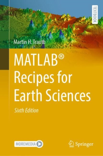
MATLAB(R) is used in a wide range of geoscientific applications, such as for image processing in remote sensing, for generating and processing digital elevation models, and for analyzing time series.
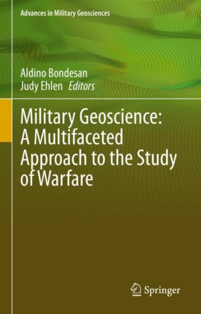
This volume presents a selection of papers from the 13th International Conference on Military Geosciences (ICMG), held 24-28 June 2019 in Padua, Italy.
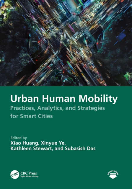
This comprehensive handbook covers human mobility within urban contexts, integrating academic theories with pragmatic insights and offering a detailed analysis of the diverse facets of human mobility and its substantial impact on the urban landscape, economy, and societal structures.
This book uses five decades of map data, air photos, and medium to high-resolution satellite imagery to track the expansions of aquaculture and the loss of both estuarine and mangrove land covers in Ecuador.
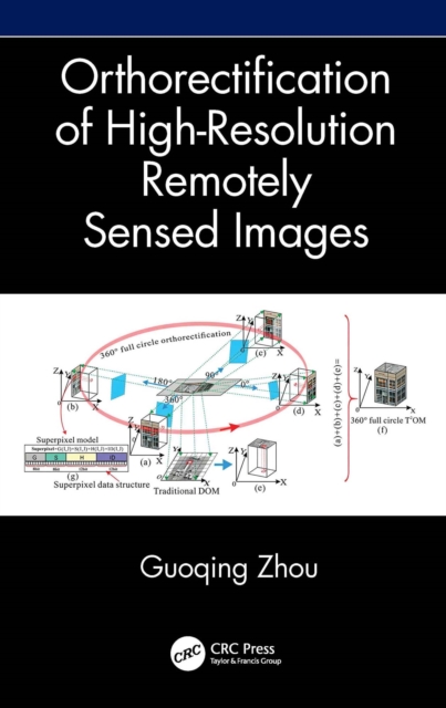
Orthorectification in remote sensing is used to geometrically correct satellite or aerial image distortions caused by terrain elevation and sensor lense etc.
Orthorectification in remote sensing is used to geometrically correct satellite or aerial image distortions caused by terrain elevation and sensor lense etc.
Prompt Cartography: Interactive Map Design with LLMs is a practical, research-informed guide to directing large language models and AI agents to design modern interactive maps across web, mobile, and emerging natural-language GIS platforms.
Prompt Cartography: Interactive Map Design with LLMs is a practical, research-informed guide to directing large language models and AI agents to design modern interactive maps across web, mobile, and emerging natural-language GIS platforms.
This book delves into the intricate relationship between climate change, urbanisation, political attitudes, and spatial inequities, examining how these elements collectively shape vulnerability in cities.
This book delves into the intricate relationship between climate change, urbanisation, political attitudes, and spatial inequities, examining how these elements collectively shape vulnerability in cities.