Bringing together a wealth of knowledge, Environmental Management Handbook, Second Edition, gives a comprehensive overview of environmental problems, their sources, their assessment, and their solutions.
This book shows the effectiveness of DRASTIC model in a geographical setting for validation of vulnerable zones and presents the optimization of parameters for the development of precise maps highlighting several zones with varied contamination.
This volume contains a selection of peer-reviewed papers presented at the International Scientific and Professional Conference Geodesy, Cartography and Geoinformatics 2019 (GCG 2019).
This volume contains a selection of peer-reviewed papers presented at the International Scientific and Professional Conference Geodesy, Cartography and Geoinformatics 2019 (GCG 2019).
This book showcases new empirical findings on the conceptualization, design, and evaluation of land management interventions and addresses two crucial aspects: how and under which conditions such interventions are responsible, and how such interventions can be supported by smart technologies.
This book showcases new empirical findings on the conceptualization, design, and evaluation of land management interventions and addresses two crucial aspects: how and under which conditions such interventions are responsible, and how such interventions can be supported by smart technologies.
This book shows the effectiveness of DRASTIC model in a geographical setting for validation of vulnerable zones and presents the optimization of parameters for the development of precise maps highlighting several zones with varied contamination.
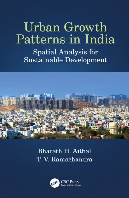
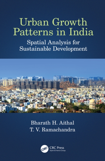
This book uses spatio-temporal analysis to understand urbanisation in Indian cities and explain the concept and impact of global greenhouse gas (GHG) emissions.
This book uses spatio-temporal analysis to understand urbanisation in Indian cities and explain the concept and impact of global greenhouse gas (GHG) emissions.
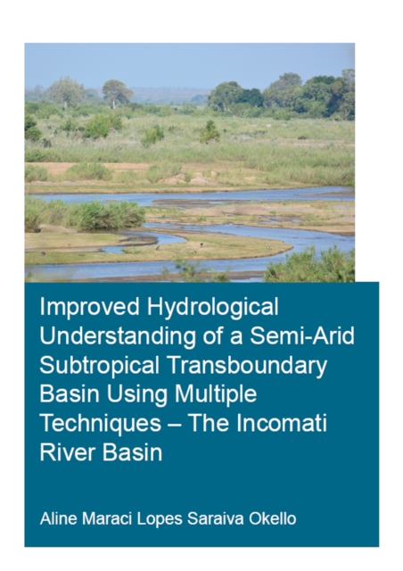
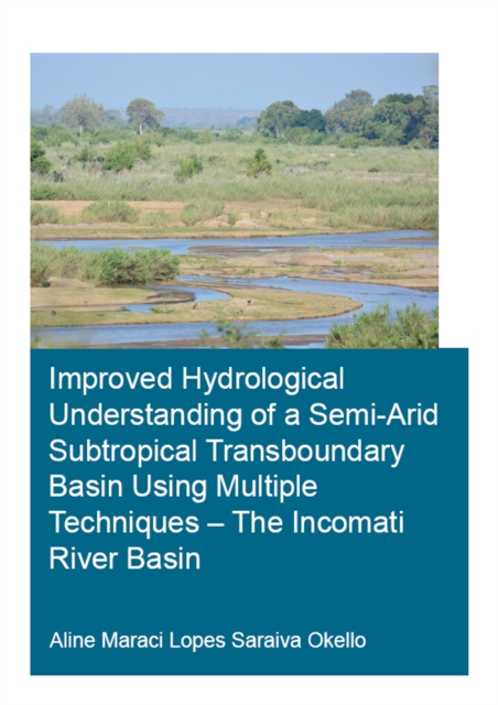
This study aims at improving the hydrological process understanding of the semi-arid and transboundary Incomati river basin to enable better water management.
Advanced Quantitative Research Methods for Urban Planners provides fundamental knowledge and hands-on techniques about research, such as research topics and key journals in the planning field, advice for technical writing, and advanced quantitative methodologies.
Advanced Quantitative Research Methods for Urban Planners provides fundamental knowledge and hands-on techniques about research, such as research topics and key journals in the planning field, advice for technical writing, and advanced quantitative methodologies.
This study aims at improving the hydrological process understanding of the semi-arid and transboundary Incomati river basin to enable better water management.
Engineering surveying involves determining the position of natural and man-made features on or beneath the Earth's surface and utilizing these features in the planning, design and construction of works.
This book, the result of a AAAS symposium organized to explore the ramifications of tropical deforestation, emphasizes the relationship of biosphere to troposphere, aiming to set tropical forest ecology in the context of the global ecosystem.
The International Mining Forum is a recurring event, hosted by the University of Science and Technology in Cracow, Poland, bringing together an international group of scientists, including those working in rock mechanics and computer engineering as well as mining engineers.
Advances in Web-based GIS, Mapping Services and Applications is published as part of ISPRS WG IV/5 effort, and aims at presenting (1) Recent technological advancements, e.
This book, the result of a AAAS symposium organized to explore the ramifications of tropical deforestation, emphasizes the relationship of biosphere to troposphere, aiming to set tropical forest ecology in the context of the global ecosystem.
This comprehensive handbook covers human mobility within urban contexts, integrating academic theories with pragmatic insights and offering a detailed analysis of the diverse facets of human mobility and its substantial impact on the urban landscape, economy, and societal structures.
This book describes the contributing aspects of contemporary developments related to sustainable agricultural resources and assessment of sustainable agriculture in developing nations.
Using a selection of archaeological cases studies from the Roman period in the Mediterranean region, Pedro Trapero Fern ndez shows how GIS technologies can be employed in the creation of spatial models to reproduce historical realities.
This book provides a comprehensive introduction about recent state-of-the-art advancements in Open GIS, including Open GIS data, services, software, and libraries for GIS programming.
Geodesign, Urban Digital Twins, and Futures explores systems, processes, and novel technologies for planning, mapping, and designing our built environment.
This book attempts to move the family of squirrels (Sciuridae) out of the shadow of large charismatic mammals and to highlight management failures with the goal of moving towards an improved conservation approach.
This book aims to summarize and report the major research achievements and validation results under the global land cover (GLC) initiative led by the Group Earth Observation (GEO).
Injuries due to air turbulence has increased recently, therefore there is considerable concern and interest in understanding and detecting it more accurately.
Guidelines for Surveying Soil and Land Resources promotes the development and implementation of consistent methods and standards for conducting soil and land resource surveys in Australia.