In this book, the authors integrate various perspectives on the evaluation of natural resources in arid and semiarid zones, analyze development options, and discuss systems analysis tools that could be important for the management of technology.
This book is a collection of reviews of microcomputer programs of special relevance to those people around the world who are responsible for the management of the current and future affairs and business of their countries.
Commuting, the daily link between residences and workplaces, sets up the complex interaction between the two most important land uses (residential and employment) in a city, and dictates the configuration of urban structure.
Commuting, the daily link between residences and workplaces, sets up the complex interaction between the two most important land uses (residential and employment) in a city, and dictates the configuration of urban structure.
The increasing intensity and frequency of natural disasters all around the world has caused severe socioeconomic impacts, especially in South and Southeast Asia.
These are the proceedings of the 3rd International Conference on Engineering Sciences and Technologies (ESaT 2018), held from 12th - 14th September 2018 in the High Tatras Mountains, Tatranske Matliare, Slovak Republic.
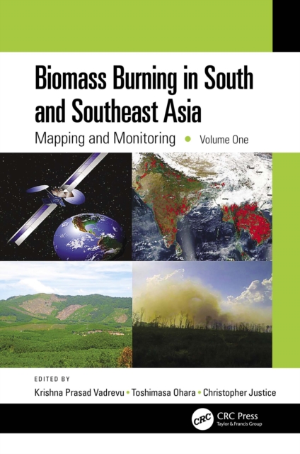
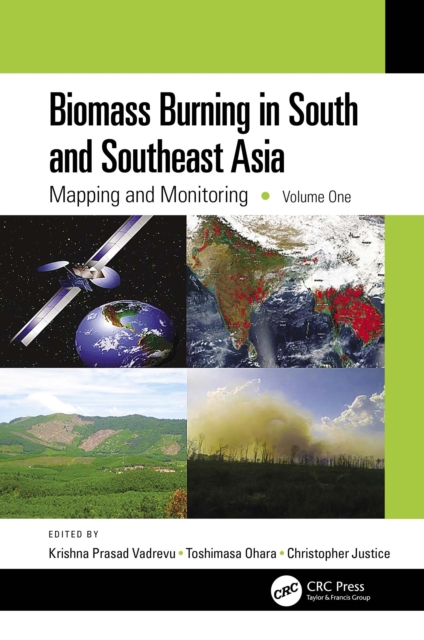
Biomass burning is one of the most important sources of greenhouse gas emissions and aerosols in South and Southeast Asia and greatly impacts other countries through transboundary air pollution.
Volume 1 of a two volume set, this book is a self-contained, state-of-the-art analysis of remote sensing, ground-based, and spatial techniques used for characterizing biomass burning events and pollution.
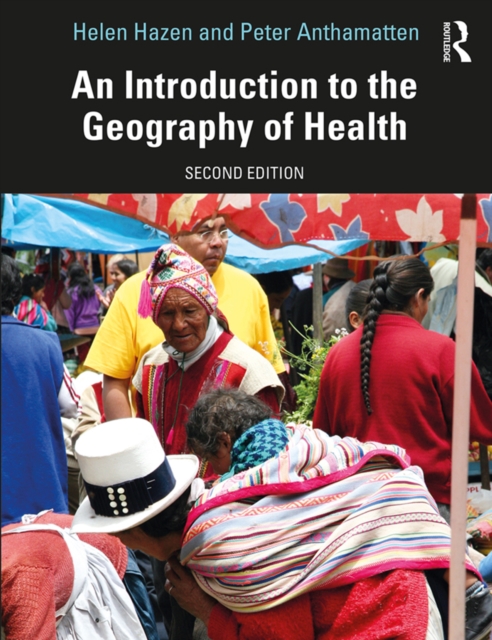
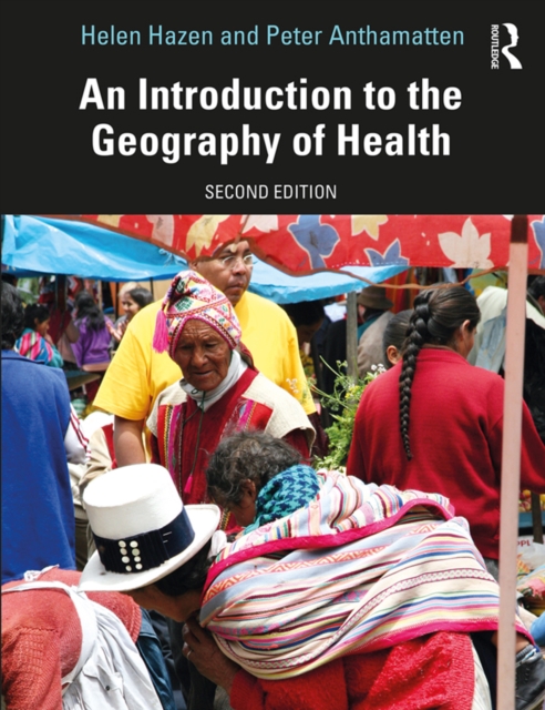
In the second edition of An Introduction to the Geography of Health, Helen Hazen and Peter Anthamatten explore the ways in which geographic ideas and approaches can inform our understanding of health.
In the second edition of An Introduction to the Geography of Health, Helen Hazen and Peter Anthamatten explore the ways in which geographic ideas and approaches can inform our understanding of health.
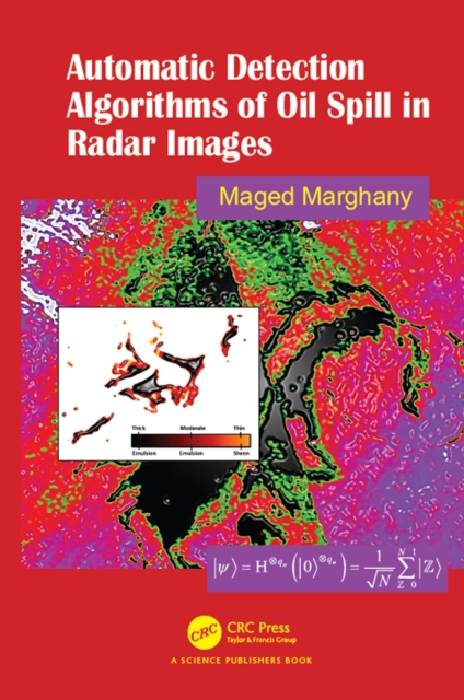
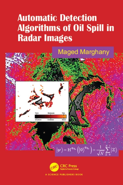
Synthetic Aperture Radar Automatic Detection Algorithms (SARADA) for Oil Spills conveys the pivotal tool required to fully comprehend the advanced algorithms in radar monitoring and detection of oil spills, particularly quantum computing and algorithms as a keystone to comprehending theories and algorithms behind radar imaging and detection of marine pollution.
Synthetic Aperture Radar Automatic Detection Algorithms (SARADA) for Oil Spills conveys the pivotal tool required to fully comprehend the advanced algorithms in radar monitoring and detection of oil spills, particularly quantum computing and algorithms as a keystone to comprehending theories and algorithms behind radar imaging and detection of marine pollution.
Theory of Spatial Statistics: A Concise Introduction presents the most important models used in spatial statistics, including random fields and point processes, from a rigorous mathematical point of view and shows how to carry out statistical inference.
Theory of Spatial Statistics: A Concise Introduction presents the most important models used in spatial statistics, including random fields and point processes, from a rigorous mathematical point of view and shows how to carry out statistical inference.
This full color book is a comprehensive visual reference for the interpretation of synthetic aperture radar (SAR) images with examples of how technological specifications may affect interpretation solutions.
This book provides a step-by-step guide on how to use various publicly available remotely sensed time series data sources for environmental monitoring and assessment.
This book provides a step-by-step guide on how to use various publicly available remotely sensed time series data sources for environmental monitoring and assessment.
This full color book is a comprehensive visual reference for the interpretation of synthetic aperture radar (SAR) images with examples of how technological specifications may affect interpretation solutions.
Hospital service areas (HSAs) and hospital referral regions (HRRs) are considered more appropriate units than geopolitical units for analyzing the performance of health care markets and policy implementation.
Advances in high spatial resolution mapping capabilities and the new rules established by the Federal Aviation Administration in the United States for the operation of Small Unmanned Aircraft Systems (sUAS) have provided new opportunities to acquire aerial data at a lower cost and more safely versus other methods.
This book explores the applicability of multiple remote sensors to acquire information relevant to restoration and conservation efforts in wetlands using data collected from airborne and space multispectral/hyperspectral sensors, light detection and ranging (LiDAR), Unmanned Aircraft Systems (UAS), and a hand-held spectroradiometer.
Advances in high spatial resolution mapping capabilities and the new rules established by the Federal Aviation Administration in the United States for the operation of Small Unmanned Aircraft Systems (sUAS) have provided new opportunities to acquire aerial data at a lower cost and more safely versus other methods.