The classic map and compass navigation guide, updated with new features and tips Be Expert with Map and Compass is a popular, easy-to-use orienteering handbook that has been helping people find their way for more than 70 years.
Ein packendes Werk uber Mut, Fehler, Uberlebenskampf und die Grenzen des Menschseins in extremer Hohe Das starkste Buch uber ein Bergungluck seit Jon Krakauers In eisige Hohen .
GKP Lost Treasure Series 1 - Illustrated Edition Volume 2Venture deeper into the world of lost artifacts with Volume 2 of the GKP Lost Treasure Illustrated Edition.
BOOK DESCRIPTIONThe Afterlife of Armageddon: The Environmental and Human Legacy of Nuclear DisarmamentBook 3 of The START TrilogyWhen the Cold War ended and the START treaties dismantled over 13,000 nuclear warheads, the world celebrated peace.
A CRITICAL, NUANCED, AND INTERDISCIPLINARY INTRODUCTION TO THE GEOGRAPHIES OF MIGRATION Migration: A Critical Introduction offers a fresh and accessible framework for understanding migration through a distinctly geographical lens.
A CRITICAL, NUANCED, AND INTERDISCIPLINARY INTRODUCTION TO THE GEOGRAPHIES OF MIGRATION Migration: A Critical Introduction offers a fresh and accessible framework for understanding migration through a distinctly geographical lens.
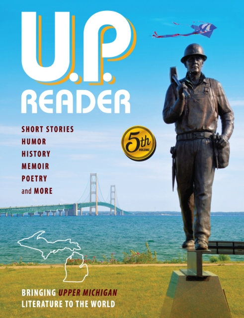
Michigan's Upper Peninsula is blessed with a treasure trove of storytellers, poets, and historians, all seeking to capture a sense of Yooper Life from settler's days to the far-flung future.
The classic map and compass navigation guide, updated with new features and tips Be Expert with Map and Compass is a popular, easy-to-use orienteering handbook that has been helping people find their way for more than 70 years.
Die eiszeitlich gepragte Uckermark ist eine bedeutende Agrarlandschaft im Nordosten Brandenburgs, die sich in den letzten Jahrzehnten im Zuge eines tiefgreifenden wirtschaftlichen, sozialen und demographischen Wandels nachhaltig verandert hat.
La guía para el procesamiento de series de tiempo de precipitación y temperatura: estimación de datos faltantes, detección de cambios y homogenización, describe las etapas para realizar el proceso de homogenización de series de tiempo mensuales, contribuyendo a evaluar la calidad de los datos y favoreciendo el desarrollo de estudios climatológicos.
Get to grips with the key concepts that have shaped the way we think about the environment, ecosystems, and biodiversity, and our role in protecting the planet.
There is a story in the name of almost every street and district in Glasgow, with some tracing their origins to pagan times, long before Glasgow could even be called a city.