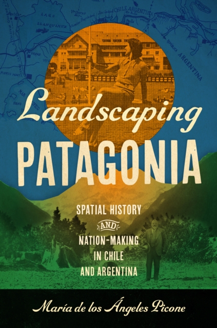
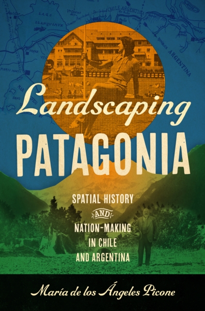
In late nineteenth-century Latin America, governments used new scientific, technological, and geographical knowledge not only to consolidate power and protect borders but also to define the physical contours of their respective nations.
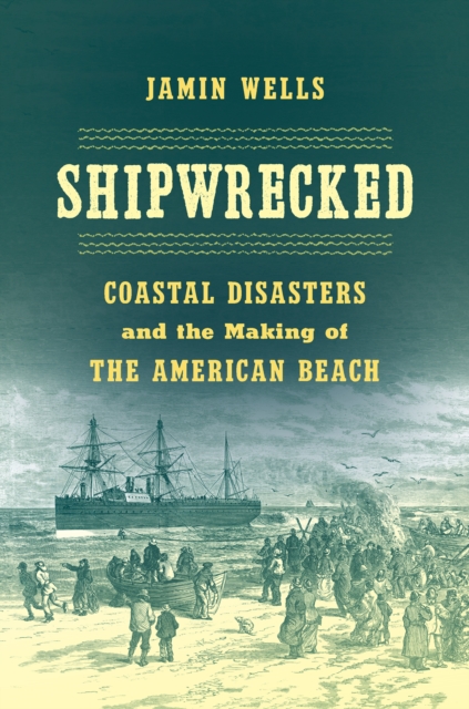
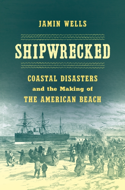
Reframing the American story from the vantage point of the nations watery edges, Jamin Wells shows that disasters have not only bedeviled the American beach they created it.
Reframing the American story from the vantage point of the nations watery edges, Jamin Wells shows that disasters have not only bedeviled the American beach they created it.
Reframing the American story from the vantage point of the nations watery edges, Jamin Wells shows that disasters have not only bedeviled the American beach they created it.
Reframing the American story from the vantage point of the nations watery edges, Jamin Wells shows that disasters have not only bedeviled the American beach they created it.
In late nineteenth-century Latin America, governments used new scientific, technological, and geographical knowledge not only to consolidate power and protect borders but also to define the physical contours of their respective nations.
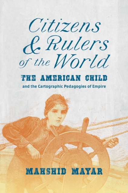
By delvinginto the complex, cross-generational exchanges that characterize anypolitical project as rampant as empire, thisthought-provoking study focusesonchildrenand their ambivalent, intimate relationships with mapsandpracticesof mappingat the dawn of the American Century.
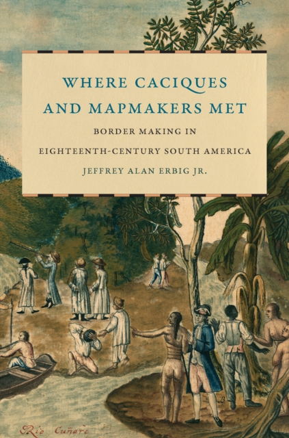
During the late eighteenth century, Portugal and Spain sent joint mapping expeditions to draw a nearly 10,000-mile border between Brazil and Spanish South America.
Environment at the Margins brings literary and environmental studies into a robust interdisciplinary dialogue, challenging dominant ideas about nature, conservation, and development in Africa and exploring alternative narratives offered by writers and environmental thinkers.
By delvinginto the complex, cross-generational exchanges that characterize anypolitical project as rampant as empire, thisthought-provoking study focusesonchildrenand their ambivalent, intimate relationships with mapsandpracticesof mappingat the dawn of the American Century.
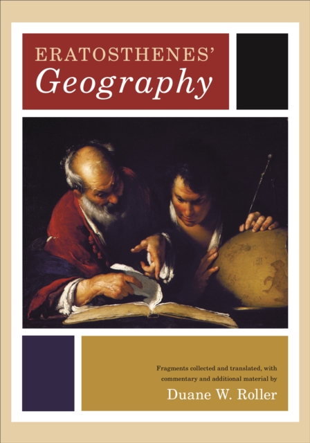
This is the first modern edition and first English translation of one of the earliest and most important works in the history of geography, the third-century Geographika of Eratosthenes.
By delvinginto the complex, cross-generational exchanges that characterize anypolitical project as rampant as empire, thisthought-provoking study focusesonchildrenand their ambivalent, intimate relationships with mapsandpracticesof mappingat the dawn of the American Century.
Environment at the Margins brings literary and environmental studies into a robust interdisciplinary dialogue, challenging dominant ideas about nature, conservation, and development in Africa and exploring alternative narratives offered by writers and environmental thinkers.
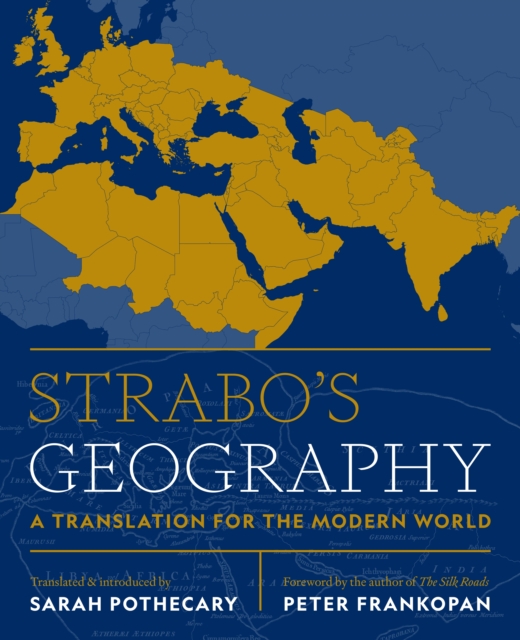
A lively new translation of Strabo's complete Geographyan encyclopedic guide to the ancient world of the first century CEconnecting it with the world of the twenty-first centuryStrabo's Geography is an encyclopedic description of the ancient world as it appeared to a contemporary observer in the early Roman empire.
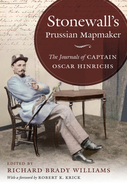
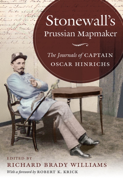
Prussian-born cartographer Oscar Hinrichs was a key member of Stonewall Jacksons staff, collaborated on maps with Jedediah Hotchkiss, and worked alongside such prominent Confederate leaders as Joe Johnston, Richard H.
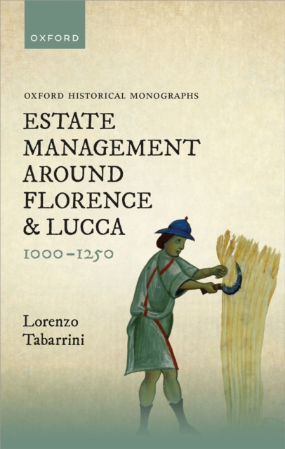
This book examines the forms of estate management in the countryside of Florence and Lucca between the eleventh and the middle of the thirteenth centuries.
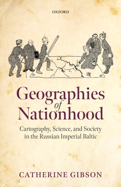
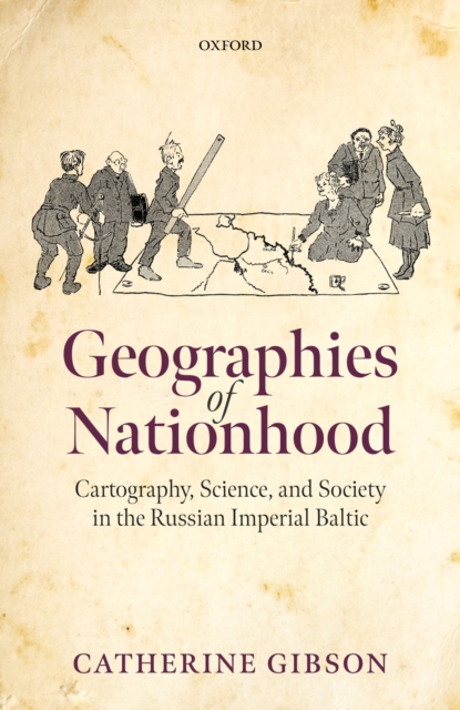
Geographies of Nationhood examines the meteoric rise of ethnographic mapmaking in the nineteenth and early twentieth centuries as a form of visual and material culture that gave expression to territorialised visions of nationhood.
Geographies of Nationhood examines the meteoric rise of ethnographic mapmaking in the nineteenth and early twentieth centuries as a form of visual and material culture that gave expression to territorialised visions of nationhood.
During the late eighteenth century, Portugal and Spain sent joint mapping expeditions to draw a nearly 10,000-mile border between Brazil and Spanish South America.
Prussian-born cartographer Oscar Hinrichs was a key member of Stonewall Jacksons staff, collaborated on maps with Jedediah Hotchkiss, and worked alongside such prominent Confederate leaders as Joe Johnston, Richard H.
This book examines the forms of estate management in the countryside of Florence and Lucca between the eleventh and the middle of the thirteenth centuries.
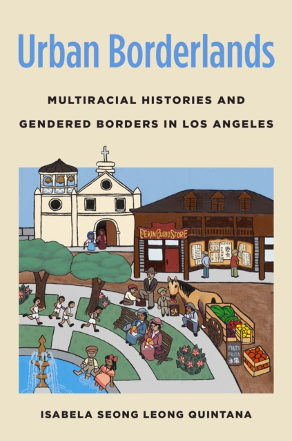
Los Angeles in the late nineteenth century was bustling with the rise of industrialization, but the growing labor force that propelled it, mostly consisting of Mexican and Chinese men, was met with exclusion policies and deportation campaigns.