Des Kaisers Platz an der Sonne: die Kolonie Deutsch Südwest AfrikaDie deutschen Kolonien (offiziell Schutzgebiete genannt) wurden vom Deutschen Reich ab den 1880er Jahren erworben und es bestand aus den überseeischen Kolonien, Dependenzen und Territorien des Deutschen Reiches.
This book offers a visual journey through the history of North America via a series of engaging, detailed maps, explaining key events and eras from prehistory to the 21st century.
Des Kaisers Platz an der Sonne: die Kolonie Deutsch NeuguineaDie deutschen Kolonien (offiziell Schutzgebiete genannt) wurden vom Deutschen Reich ab den 1880er Jahren erworben und es bestand aus den überseeischen Kolonien, Dependenzen und Territorien des Deutschen Reiches.
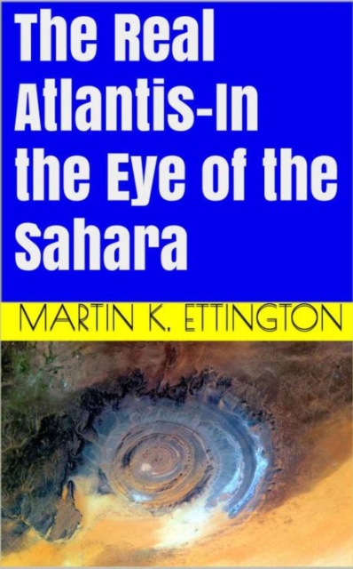
Dive into the sands of time and journey through the captivating narrative of "e;Sands of Unity: Rise and Fall of the Maghreb Empire,"e; a riveting exploration of a forgotten empire that once graced the vast expanse of North Africa.
A sparkling exploration of direction, by the acclaimed author of A History of the World in 12 MapsNorth, south, east and west: almost all societies use the four cardinal directions to orientate themselves, to understand who they are by projecting where they are.
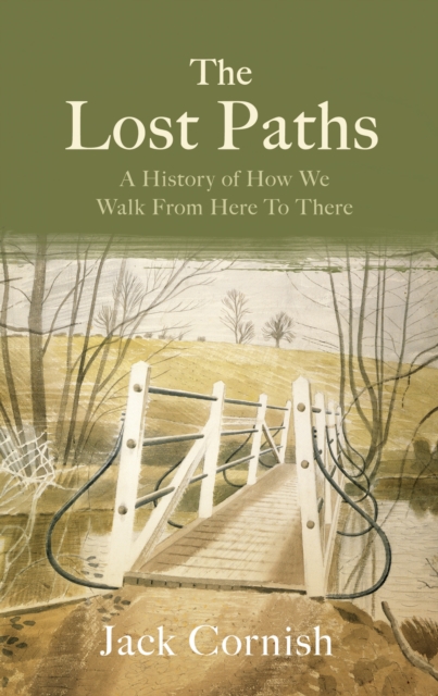
SHORTLISTED FOR THE WAINWRIGHT PRIZEA FINANCIAL TIMES BOOK OF THE YEAR'The bothy embrace is addictive' ADAM NICOLSON'Will have you reaching for your boots' CAL FLYN.
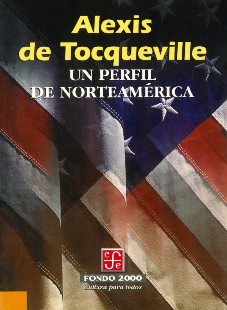
Extracto de la célebre obra "La democracia en América", describe el paisaje geográfico y el entorno de la aún naciente nación norteamericana, y es, también, un retrato del mosaico humano que poblaba aquel territorio y un cuadro detallado de la situación política en la que se encontraba durante la primera mitad del siglo XIX.
Was die Chaostheorie mit dem Schmetterling beschreibt, der mit seinem Flügelschlag einen Tornado auslöst, illustriert die ‹Kleine Basler Weltgeschichte› an konkreten Beispielen aus der Geschichte.
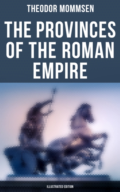
The Provinces of the Roman Empire (Illustrated Edition) by Theodor Mommsen is a comprehensive study of the various provinces that made up the Roman Empire.
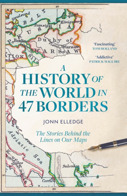
'Fascinating' TOM HOLLAND 'A delight from start to finish' MIRANDA SAWYER'A novel and fascinating perspective on world history' BILL BRYSON'By turns surprising, funny, bleak, ridiculous, or all four of those at once' GIDEON DEFOE'I love this book; I love Jonn Elledge; I love the way he looks at the world' MARINA HYDEPeople have been drawing lines on maps for as long as there have been maps to draw on.
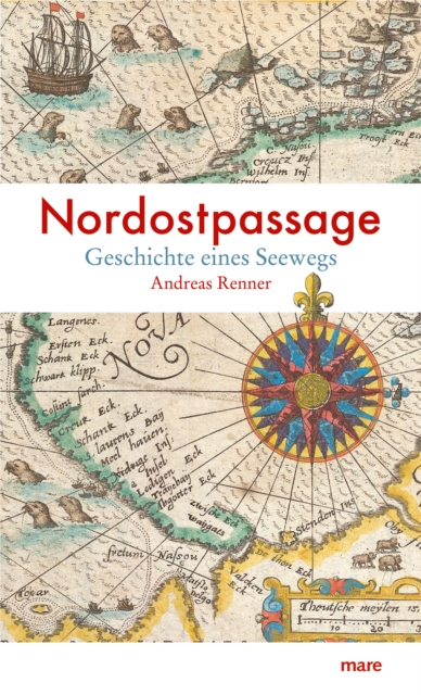
Jahrhundertelang träumten europäische Seefahrer vergeblich von einer Ostroute durchs sibirische Eismeer: Willem Barents und Vitus Bering erlagen nach ihren »Entdeckungen« Spitzbergens und der Beringstraße den Strapazen ihrer Expeditionen, und selbst der erfolgsverwöhnte James Cook scheiterte an der Suche nach dem östlichen Ausgang aus den Eismassen.