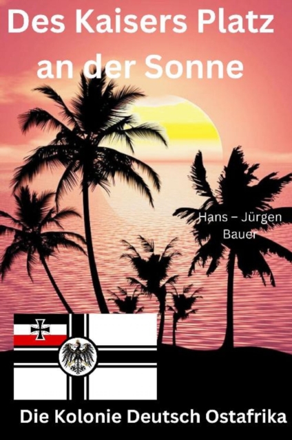
Des Kaisers Platz an der Sonne: die Kolonie Deutsch OstafrikaDie deutschen Kolonien (offiziell Schutzgebiete genannt) wurden vom Deutschen Reich ab den 1880er Jahren erworben und es bestand aus den überseeischen Kolonien, Dependenzen und Territorien des Deutschen Reiches.
Dieses eBook: "Seufzer aus Österreich und seinen Provinzen" ist mit einem detaillierten und dynamischen Inhaltsverzeichnis versehen und wurde sorgfältig korrekturgelesen.
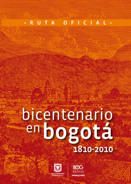
Con la realización de esta guía de bolsillo, los ciudadanos pueden redescubrir como era Bogotá en 1810, identificar los lugares donde se desarrollaron los principales acontecimientos del Grito de Independencia y se aproximarse a las huellas y rastros dejadas por los acontecimientos de la época, a manera de memoria urbana y patrimonio cultural.
La ciudad es una brújula de emociones, un texto descifrable en sus edificaciones, en sus calles y, sobre todo, a través de la circulación y los comportamientos de sus caminantes.
Somerville s infectious enthusiasm and wry humour infuse his journey from the Isle of Lewis to southern England, revealing our rich geological history with vibrant local and natural history Observer A meticulous exploration of the ground beneath our feet.
A New York Public Library and Kirkus Reviews Best Book of 2025 Published to coincide with the hundredth anniversary of his birth, the first major study of Malcolm X's influence in the sixty years since his assassination, exploring his enduring impact on culture, politics, and civil rights.
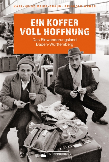
Die beiden renommierten Autoren, ausgewiesene Experten auf dem Gebiet, blicken zurück auf Jahrzehnte der Migration, die Menschen unterschiedlichster Herkunft und Kulturen seit dem 19.
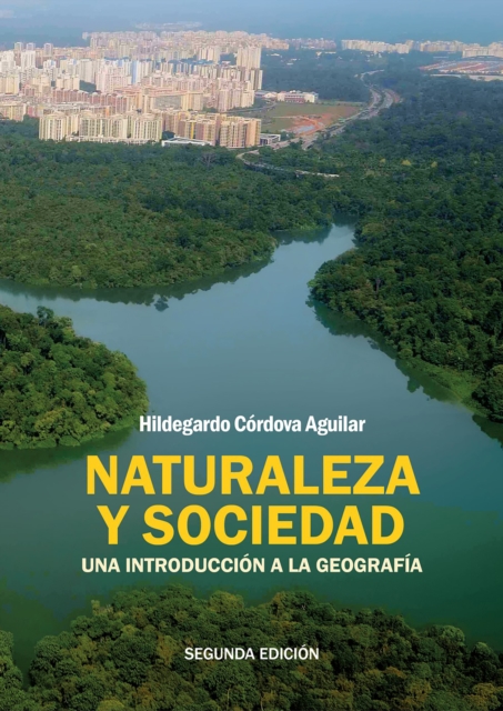
El interes por la geografia es cada vez mayor, debido a su relacion con el medio ambiente, que es hoy una de las grandes preocupaciones de la humanidad.
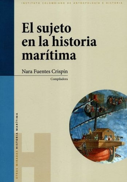
Desde los aportes de los debates historiográficos europeos de los años cincuenta y el giro humanista en las ciencias sociales, se considera un conjunto de categorías de unos transdisciplinar, como la representación y la alteridad, entre otras, que permiten dilucidar las posibilidades epistémicas de un sujeto propio de la historia marítima, de gran utilidad a los estudios sobre la América colonia.
Esta investigación pertenece a la historia social, específicamente a la línea interesada en el estudio de las familias de las élites locales del Antiguo Régimen, cuyas herramientas conceptuales y metodológicas nos permiten comprender las actitudes y los comportamientos de las sociedades rurales durante la época colonial.
Taylor develops a geohistorical argument which focuses on the periods and places of modernities, offering a grounded analysis of what it is to be modern.
Full of facts and trivia for every day of the yearDo you know when the Duke of Albemarle arranged Britain's first boxing match, between his butler and his butcher?
A Waterstones Travel Book of the Year 2023A funny, warm and timely meditation on identity and belonging, following the scenic route along the England-Wales border: Britain's deepest faultline.
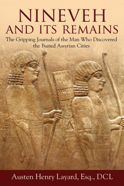
In the middle of the nineteenth century, British archeologist Austen Henry Layard uncovered parts of several ancient Assyrian cities buried beneath the earth, including the capital of the Neo-Assyrian Empire, Nineveh.
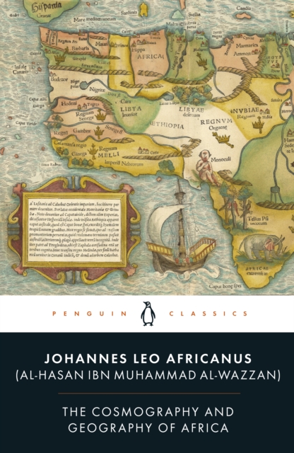
The first new translation in over 400 years of one of the great works of the RenaissanceIn 1518, al-Hasan ibn Muhammad al-Wazzan, a Moroccan diplomat, was seized by pirates while travelling in the Mediterranean.
El libro Historia urbana de la ciudad de La Paz, Baja California Sur, México se diseñó como un trabajo multidisciplinar de divulgación a partir de un proyecto de investigación permanente que se lleva a cabo en el Centro de Documentación de Historia Urbana (CEDOHU-UABCS) adscrito al Departamento Académico de Economía de la Universidad Autónoma de Baja California Sur: "Historia urbana: economía, ciudad y patrimonio cultural".
El libro presenta una valiosa labor de investigación, documentación y análisis de cuatro localidades del municipio de La Paz (Baja California Sur, México): La Paz, Todos Santos, El Triunfo y San Antonio; llevaba a cabo por miembros del Colectivo de Historia Urbana del Centro de Documentación de Historia Económica y Política de Baja California Sur.
Los cronistas se dedican a hacer crónica urbana de la ciudad, contado su historia, de sus calles y callejones, de sus edificios, de la vida cotidiana de los pobladores, de los vocablos locales, de los personajes ilustres de la ciudad, entre otros temas; pero, en esta ocasión, un grupo de cronistas paceños, acostumbrados a escribir sobre las historias de otros, contarán su historia personal con la ciudad.
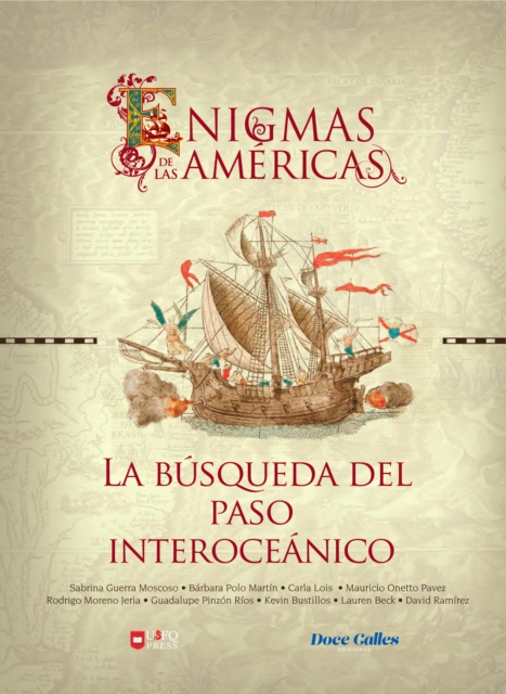
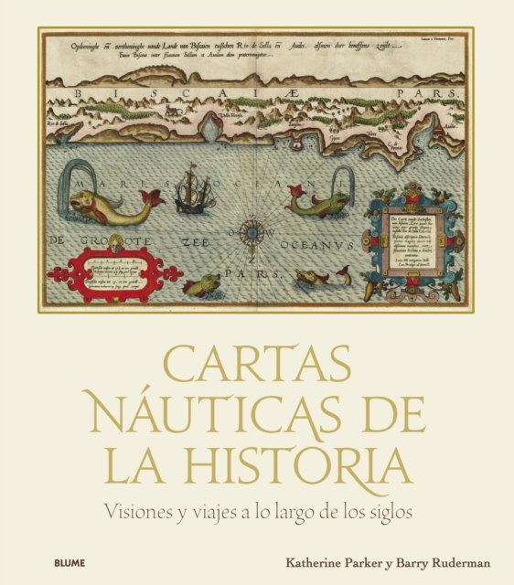
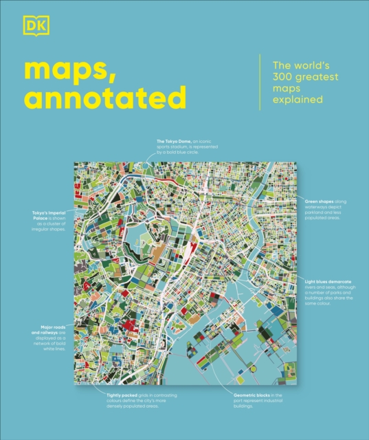
Visiones y viajes a lo largo de los siglos* Embárquese en un viaje para conocer la historia de la cartografía europea, desde el siglo xv al xix, y descubra los secretos ocultos en los detalles de una carta náutica.
By 1941, a nascent statehood movement began to coalesce into an active and explicit secession campaign seeking to carve from Northern California and Southern Oregon a new State of Jefferson.
"Bauernaufstände in Deutschland und ihre Auswirkungen auf Europa"Entdecken Sie ein faszinierendes Kapitel der europäischen Geschichte, das die Grundlagen unserer modernen Gesellschaft nachhaltig geprägt hat.
A partir del turismo, se han proyectado ciudades que nacieron prácticamente en lugares deshabitados, como la ciudad de Cancún, que nace después del boom mundial de los destinos de sol y playa (García de Fuentes, Jouault y Romero, 2019), como parte de las políticas de desarrollo regional del Estado mexicano para atraer inversiones en zonas poco desarrolladas del país e impulsar su proceso de colonización, lo que trajo como consecuencia su urbanización, así como el crecimiento de ciudades costeras de litoral, con impactos ambientales que acompañan al proceso (Bunicontro, 2019).
Los libros histórico-geográficos suelen ser comúnmente de dos tipos: o se centran en un hecho local, puntual, abordado como una singularidad muy específica, o bien, analizan procesos amplios para explicarlos desde la universalidad.