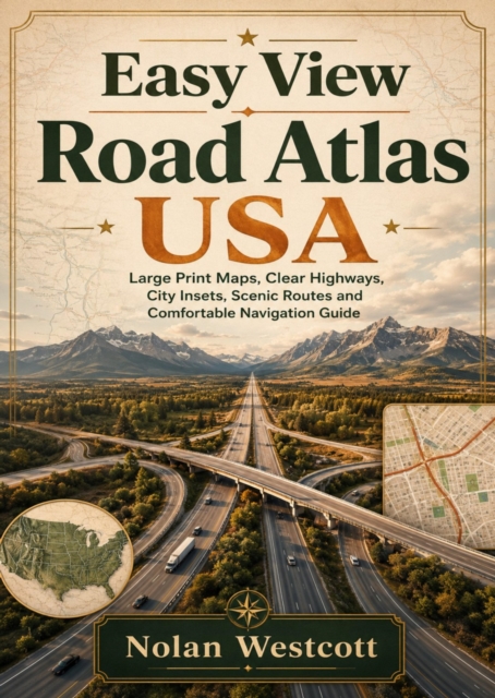
Navigate the United States with clarity, comfort, and confidence using Easy View Road Atlas USA, a travel companion designed for drivers who want maps that are clear and easy to follow.
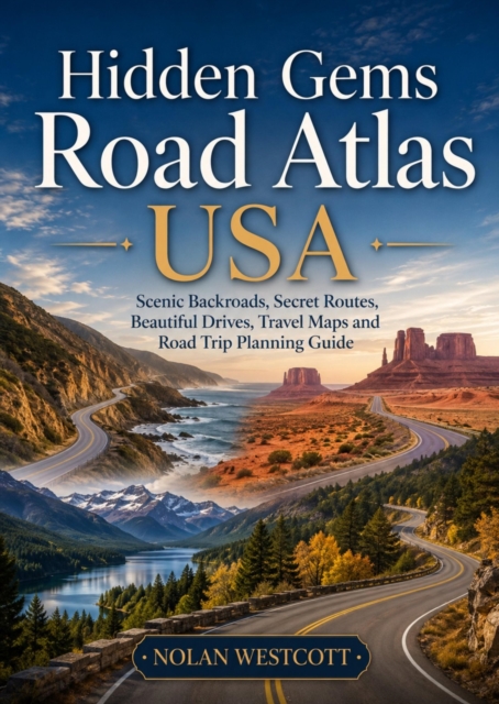
Discover America beyond the crowded interstates with Hidden Gems Road Atlas USA, an inspiring travel companion for drivers who want more than the fastest route.
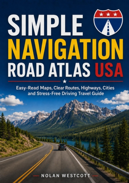
Plan every American road trip with greater confidence using *Simple Navigation Road Atlas USA*, a practical travel guide designed for drivers who want clear routes, easy map reading, and less stressful journeys.
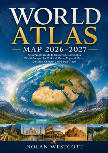
Explore the world with confidence through World Atlas Map 2026-2027, a comprehensive and beautifully organized reference designed for travelers, students, educators, researchers, and anyone fascinated by our planet.
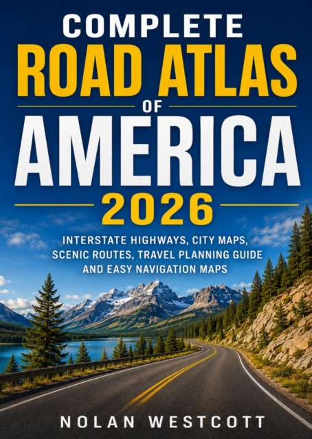
Discover America one unforgettable mile at a time with Complete Road Atlas of America 2026, your practical companion for confident travel across the United States.
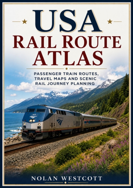
From bustling East Coast cities to the towering peaks of the Rocky Mountains, from the dramatic Pacific coastline to the timeless communities of the Mississippi River Valley, USA Rail Route Atlas is your complete companion for discovering America by passenger train.
Discover one of America's most spectacular riding destinations with the Black Hills Motorcycle Touring Guide, your essential companion for exploring legendary roads, breathtaking scenery, historic landmarks, and unforgettable adventures throughout South Dakota's premier riding region.
Discover the ultimate guide to adventure motorcycle travel across the United States with Adventure Motorcycle Atlas USA: Off-Road Routes, Scenic Trails, Travel Maps and Adventure Riding Guide.
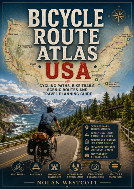
Discover America's most spectacular cycling destinations with Bicycle Route Atlas USA: Cycling Paths, Bike Trails, Scenic Routes and Travel Planning Guide, the ultimate resource for cyclists seeking unforgettable adventures on two wheels.
Discover the breathtaking beauty, legendary highways, and unforgettable landscapes of the American Rockies with this comprehensive Rocky Mountains travel and touring guide.
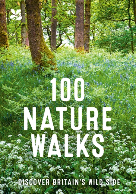
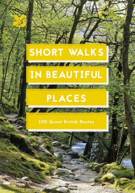
With information on transport links, facilities, local attractions and fun stuff for the kids, along with maps of each route, this is the perfect guide for exploring Britain's countryside and discovering your new favourite walk.
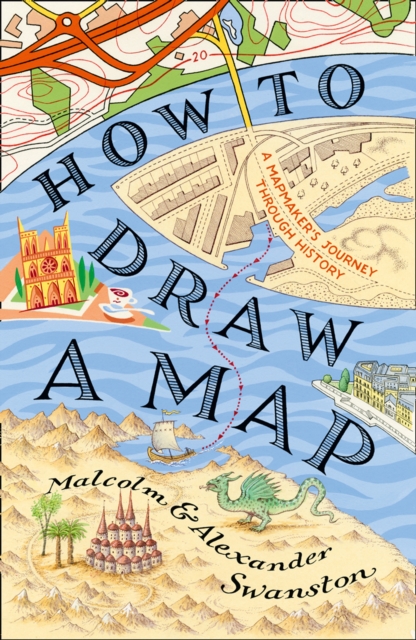
How to Draw a Map is a fascinating meditation on the centuries-old art of map-making, from the first astronomical maps to the sophisticated GPS guides of today.
In this ultimate guide to ultrarunning, dive into 100 of the world's most breathtaking and brutal ultramarathons - from the icy tundras of Sweden to the sun-scorched deserts of the USA, and the rugged mountains of Europe.
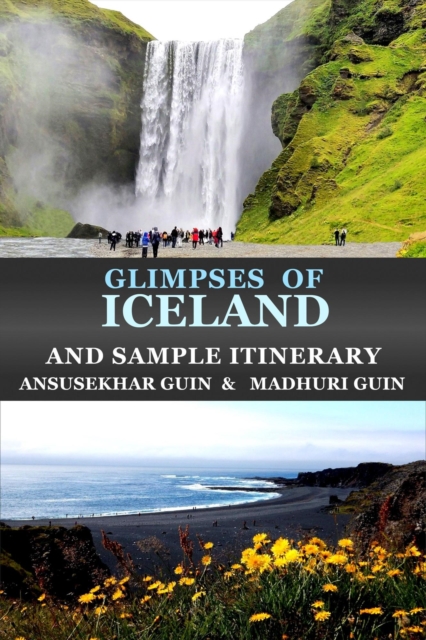
Iceland, a Nordic Island Nation between the North Atlantic and Arctic Oceans, has a scenic landscape dotted with geysers, volcanoes, hot springs, and lava fields.
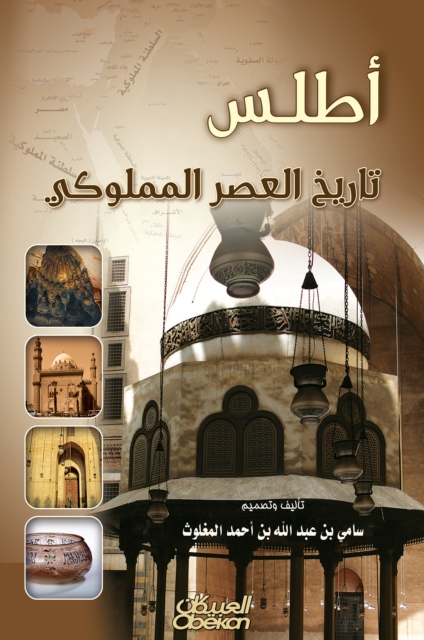
A book is a atlas for the history of the Mamluk era, and it came in three chapters: The first: the marine Mamluk, the second: the Mamluk, the third: the regulations and civilizations, and are attached to these doors with annexes to prove the sources and references, and an index of addresses and doors for this atlas.
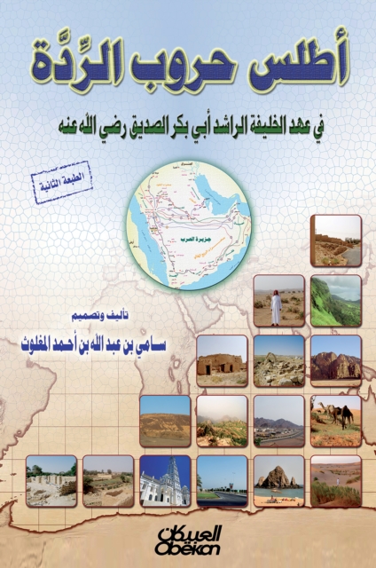
The wars of apostasy were not transient wars that swept the Arabian Peninsula after the death of the Prophet, may God's prayers and peace be upon him The means of slag, cunning and cunning, as all of these parties in the battle of the trench, so God disappointed them and invalidated their plot, then the Muslims purified the Jews from the Jews after Khaybar, and the polytheists were broken in Mecca after opening a great break and entered its people in Islam.
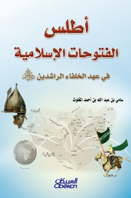
In this atlas, I dealt with the march of conquest in a fairly easy way, highlighting the important war and municipal sites, using that brief text, the historical, geographical or space map, the realistic image of the habitat of the event, the attractive form of some ideas, and the easy table of comparisons, all of this from Yes, the generous reader lives the truth of the great Islamic conquest with a technical template on a paper product that harmonizes with his taste.
Una colección de cuarenta y siete historias vinculadas de diversas maneras a los volcanes de Islandia, que van desde las aventuras de los primeros colonizadores de la isla hasta las hazañas de exploradores extremos, desde las antiguas sagas nórdicas hasta las misiones de la NASA en los cañones «lunares» de las tierras altas, alternando ciencia, poesía, crónica y leyenda.
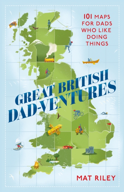
When you're stuck for a great gift for Dad, look no further than GREAT BRITISH DADVENTURES: the ultimate guide to helping Dad discover adrenaline-inducing, mind-expanding or stomach-pleasing mini or big adventures around the British Isles - and families of all ages can join in the fun too!
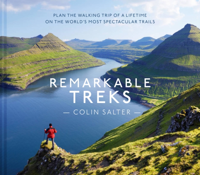
Remarkable Treks is a compendium of exhilarating long-distance walks from around the planet - some lasting weeks, some lasting just a few days, but all of them set against spectacular backdrops.
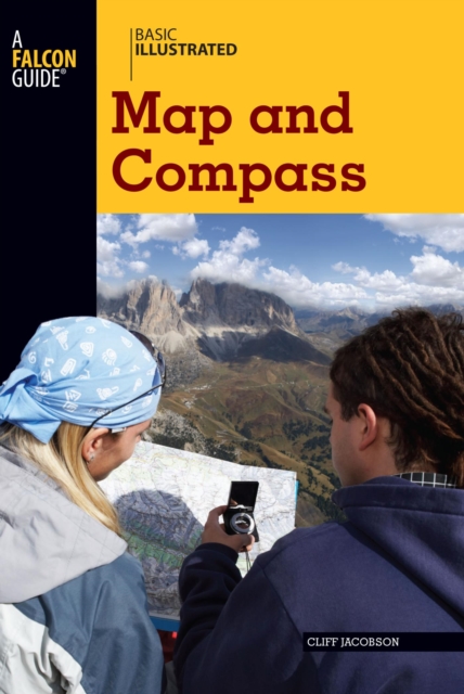
BASIC ILLUSTRATED MAP AND COMPASSWilderness guide Cliff Jacobson created the map and compass curriculum for the Minnesota Department of Natural Resources, and here he shows easy-to-follow steps on choosing a compass, reading contour lines and other map features, using them in concert with a GPS receiver, plotting a course in the wilderness, navigating at night by the stars, and much more.