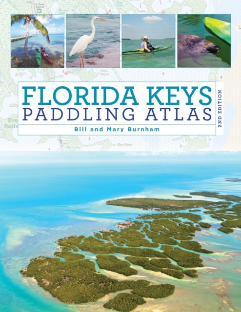
The Florida Keys Paddling Atlas, a first of its kind detailed color atlas of the Florida Keys, from Key Largo to Key West, is specifically designed for paddlers, fly fishers, snorkelers, and other small craft water enthusiasts interested in shallow water exploration.
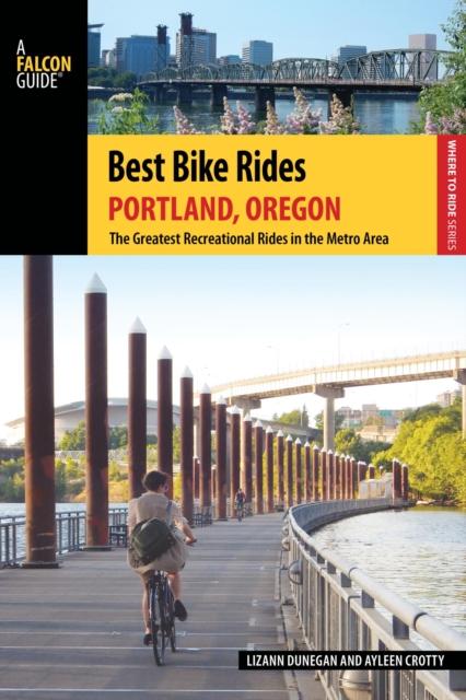
Written for cyclists of all stripes, Best Bike Rides books offer a diverse array of scenic tours in and around some of America's largest urban destinations.
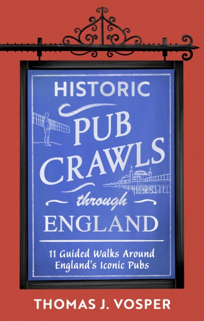
'Britain is full of amazing pubs and this man will guide you to the very best' award-winning Travel Creator Phil Carr ***'If you like exploring new cities/towns and have an interest in pubs and history - a must have book' Martin Ellis, The Canny Bevvy (CAMRA)After spontaneously hosting a birthday pub crawl through London's finest alehouses, Thomas J.
A Sentimental Journey Through France and Italy Laurence Sterne - A furiously witty response to Tobias Smollett's curmudgeonly 'Travels through France and Italy', Laurence Sterne's A Sentimental Journey through France and Italy became a hugely influential work of travel writing in its own right.
The American Scene - Henry James - The American Scene is a book of travel writing by Henry James about his trip through the United States in 1904-1905.
The Brotherhood of Consolation Honore de Balzac - French playwright and novelist Honore de Balzac is at his best when he is describing the chaotic tumult of big city life in nineteenth-century Europ.
Der Autor Alexander Koenig ist in der Presse als "Meilenkönig" bekannt und schreibt regelmäßig Kolumnen und Beiträge für verschiedene Zeitungen und Magazine (z.
Dieser aktuelle Stadtführer ist der ideale Begleiter, um alle Seiten der baden-württembergischen Metropole selbstständig zu entdecken:- Die wichtigsten Sehenswürdigkeiten und Museen der Stadt sowie weniger bekannte Attraktionen und Viertel ausführlich vorgestellt und bewertet- Faszinierende Architektur: Barockkirchen, Quadrate und moderne Kulturtempel- Abwechslungsreicher Stadtspaziergang- Erlebnisvorschläge für einen Kurztrip- Ausflug nach Ludwigshafen am Rhein- Shoppingtipps vom Outletstore bis zur ausgefallenen Boutique- Die besten Lokale der Stadt und allerlei Wissenswertes über die kurpfälzisch-badische Küche- Tipps für die Abend- und Nachtgestaltung: vom Nationaltheater bis zur Dinnershow- Das erste Auto stammt aus Mannheim: Carl Benz, der Pionier des Kraftwagenbaus- Mannheim zum Durchatmen: Luisen- und Herzogenriedpark, Neckarwiesen, Käfertaler Wald- Ausgewählte Unterkünfte von preiswert bis ausgefallen- Alle praktischen Infos zu Anreise, Preisen, Stadtverkehr, Touren, Events, Hilfe im Notfall .
Dieser aktuelle Reiseführer ist der ideale Begleiter, um alle Seiten der dänischen Nordseeinseln selbstständig zu entdecken:- Die interessantesten Orte, Sehenswürdigkeiten und Attraktionen ausführlich vorgestellt und bewertet- Die schönsten Strände rund um die Inseln- Die besten Hotspots zum Windsurfen, Kitebuggy- und Blokart-Fahren- Ausgewählte Anbieter für Wattwanderungen, Seehund- und Austernsafaris sowie weitere Aktivitäten- Inselentdeckung mit Auto, Bus oder Fahrrad- Vier Wanderungen und eine Radtour für jedermann- Ausflüge nach Sylt, zu den schönsten Küstenorten und nach Billund ins LEGOLAND- Die ganze Bandbreite der Inselküchen- Shoppingtipps vom Inselbäcker bis zur Glasbläserei- Die erstaunlichsten Bräuche und Feiern- Besonderheiten der Flora und Fauna- Vom Wattenmeer bis zum schönsten Dorf Dänemarks: spannende Tipps, Exkurse und Hintergrundinfos- Ausgesuchte Unterkünfte von Wellness-Hotels bis zu Ferienparks und Ferienvillen aus dem 19.
In der Weltstadt New York haben Besucher die Qual der Wahl: Berühmte Museen wie das Guggenheim, das MoMA oder das Metropolitan Museum of Art, weltbekannte Highlights wie die Freiheitsstatue, aber auch Zeugen der jüngeren Geschichte wie die World Trade Center Site wollen besichtigt werden.
In der Weltstadt New York haben Besucher die Qual der Wahl: Berühmte Museen wie das Guggenheim, das MoMA oder das Metropolitan Museum of Art, weltbekannte Highlights wie die Freiheitsstatue, aber auch Zeugen der jüngeren Geschichte wie die World Trade Center Site wollen besichtigt werden.
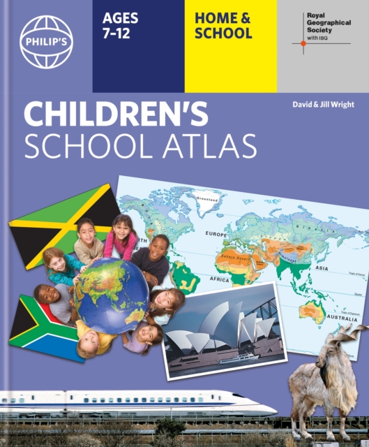
"e;This is such a great book for primary school age children and a little beyond for finding out about the world, its countries and people"e; Amazon customer review- Philip's atlas, designed specially to use at home and at school with guidance for parents and teachers- Clear maps and fascinating facts bring geography to life for readers aged 7-12- Published by Philip's in association with the Royal Geographical Society- Quizzes, activity ideas and puzzles to make learning fun- Past winner of the Geographical Association's award for making a significant contribution to geographyThe atlas is organized spread by spread in the classic sequence: first Europe, then its land neighbour Asia, followed by Africa, Australia and Oceania, North America and South America.
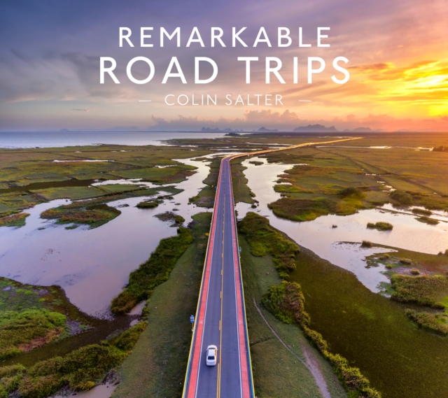
Remarkable Road Trips collects over 50 of the most spectacular, dangerous, and thoroughly memorable road trips from around the worldEntries range from the shortest - the Guoilang Tunnel hewn into the side of a cliff face in China, to the longest, the Dempster Highway in desolate stretches of Arctic Canada.
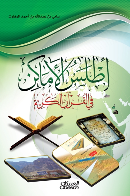
After my completion of the historic Alasus series journey that I started with more than two decades ago, I wanted to supervise the service of the Book of God - the Almighty - in the field of definition of geographical places in which I mentioned in a contemporary technical manner, dependent on the expressive map, and the image related to the place, The documented text through the sources and references mentioned in the Atlas 'appendices.
The Florida Keys Paddling Atlas, a first of its kind detailed color atlas of the Florida Keys, from Key Largo to Key West, is specifically designed for paddlers, fly fishers, snorkelers, and other small craft water enthusiasts interested in shallow water exploration.
Written for cyclists of all stripes, Best Bike Rides books offer a diverse array of scenic tours in and around some of America's largest urban destinations.
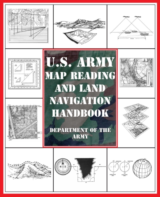
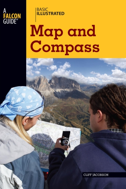
BASIC ILLUSTRATED MAP AND COMPASSWilderness guide Cliff Jacobson created the map and compass curriculum for the Minnesota Department of Natural Resources, and here he shows easy-to-follow steps on choosing a compass, reading contour lines and other map features, using them in concert with a GPS receiver, plotting a course in the wilderness, navigating at night by the stars, and much more.
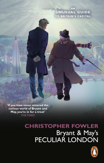
The streets of London resonate with secret stories, from East End lore to Cold War espionage, from tales of riots, rakes, anarchy and grisly murders, to Rolling Stones gigs, gangland drinking dens, Orwell's Fitzrovia and Lenin's haunts.
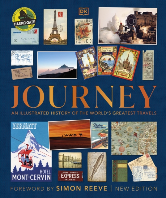
From the earliest migrations to the dawn of space tourism, experience the excitement of travel throughout the ages in this gloriously illustrated book!