The widespread adoption of smartphones has led to an explosion of mobile social media data, more than a billion messages per day that continuously track location, content, and time.
The widespread adoption of smartphones has led to an explosion of mobile social media data, more than a billion messages per day that continuously track location, content, and time.
This book explores how we create deep maps, delving into the development of methods and approaches that move beyond standard two-dimensional cartography.
This book explores how we create deep maps, delving into the development of methods and approaches that move beyond standard two-dimensional cartography.
The intersection of two disciplines and technologies which have become mature academic research topics in the 1990s was destined to be a dynamic area for collaboration and publication.
This work reflects preoccupations with the threats posed to our environment due to climatic factors, major and natural hazards of all kinds and demographic influences.
Earth observation data policy has received little attention, even though the conditions of access to Earth observation data are fundamental to the exploitation of and the further growth of the Earth observation sector.
The intersection of two disciplines and technologies which have become mature academic research topics in the 1990s was destined to be a dynamic area for collaboration and publication.
Earth observation data policy has received little attention, even though the conditions of access to Earth observation data are fundamental to the exploitation of and the further growth of the Earth observation sector.
This work reflects preoccupations with the threats posed to our environment due to climatic factors, major and natural hazards of all kinds and demographic influences.
Performance Metrics for Sustainable Cities provides an overview of measurement systems and tools to enable communities to self-assess and benchmark their progress along a continuum of smart, intelligent, and sustainable development.
Performance Metrics for Sustainable Cities provides an overview of measurement systems and tools to enable communities to self-assess and benchmark their progress along a continuum of smart, intelligent, and sustainable development.
Detailed and accurate information on the spatial distribution of individual species over large spatial extents and over multiple time periods is critical for rapid response and e?
Detailed and accurate information on the spatial distribution of individual species over large spatial extents and over multiple time periods is critical for rapid response and e?
Satellite images acquired at night provide a visually arresting perspective of the Earth and the human activities that light up the otherwise mostly dark Earth.
Satellite images acquired at night provide a visually arresting perspective of the Earth and the human activities that light up the otherwise mostly dark Earth.
Environmental Treatment Technologies for Municipal, Industrial and Medical Wastes will provide the reader with a simple and clear path to analyze the full range of options to manage/treat any solid, hazardous, or medical waste problems/issues at hand.
Environmental Treatment Technologies for Municipal, Industrial and Medical Wastes will provide the reader with a simple and clear path to analyze the full range of options to manage/treat any solid, hazardous, or medical waste problems/issues at hand.
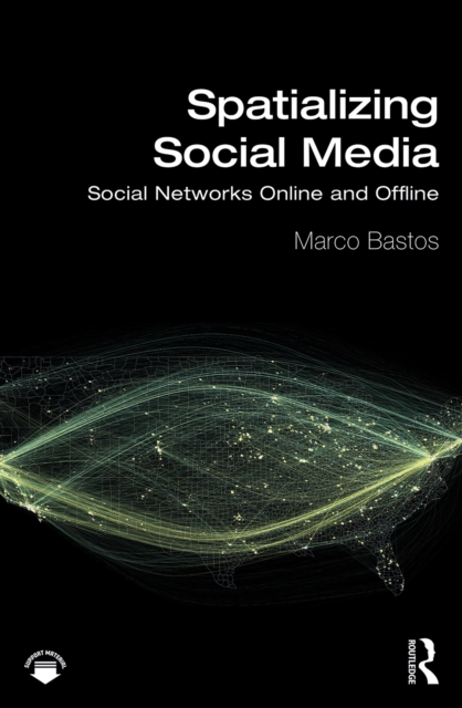
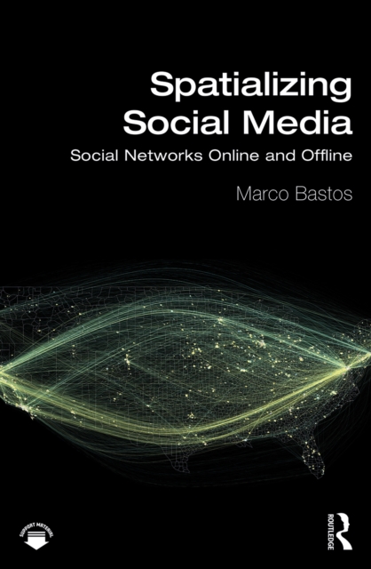
Spatializing Social Media charts the theoretical and methodological challenges in analyzing and visualizing social media data mapped to geographic areas.
Spatializing Social Media charts the theoretical and methodological challenges in analyzing and visualizing social media data mapped to geographic areas.
Many urban and transportation problems, such as traffic congestion, traffic accidents, and environmental burdens, result from poor integration of land use and transportation.
Many urban and transportation problems, such as traffic congestion, traffic accidents, and environmental burdens, result from poor integration of land use and transportation.
Computer Aided Highway Engineering is aimed at developing professional knowledge in the field of highway engineering with adequate skills in planning, designing and implementation of the highway project with an exposure of hands on training of computer software in designing the worldwide road infrastructures.
Computer Aided Highway Engineering is aimed at developing professional knowledge in the field of highway engineering with adequate skills in planning, designing and implementation of the highway project with an exposure of hands on training of computer software in designing the worldwide road infrastructures.
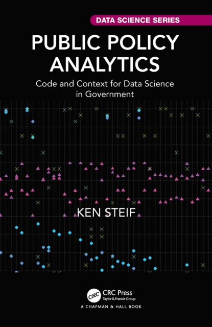
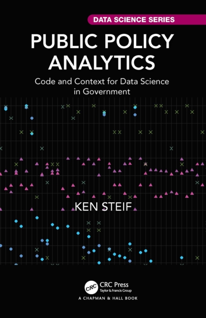
Public Policy Analytics: Code & Context for Data Science in Government teaches readers how to address complex public policy problems with data and analytics using reproducible methods in R.
Public Policy Analytics: Code & Context for Data Science in Government teaches readers how to address complex public policy problems with data and analytics using reproducible methods in R.
The wide range of challenges in studying Earth system dynamics due to uncertainties in climate change and complex interference from human activities is creating difficulties in managing land and water resources and ensuring their sustainable use.
The wide range of challenges in studying Earth system dynamics due to uncertainties in climate change and complex interference from human activities is creating difficulties in managing land and water resources and ensuring their sustainable use.