Public Policy Analytics: Code & Context for Data Science in Government teaches readers how to address complex public policy problems with data and analytics using reproducible methods in R.
Public Policy Analytics: Code & Context for Data Science in Government teaches readers how to address complex public policy problems with data and analytics using reproducible methods in R.
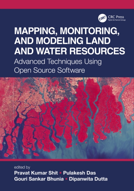
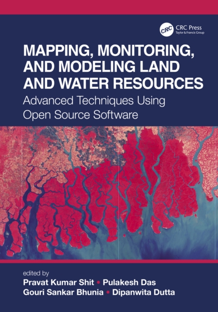
The wide range of challenges in studying Earth system dynamics due to uncertainties in climate change and complex interference from human activities is creating difficulties in managing land and water resources and ensuring their sustainable use.
The wide range of challenges in studying Earth system dynamics due to uncertainties in climate change and complex interference from human activities is creating difficulties in managing land and water resources and ensuring their sustainable use.
Originally published in 1990 and unique in terms of diversity and extent, this book covers a wide geographical area, including Jamaica, Tunisia, Malaysia, India, Mauritius, Turkey, Jordan, Cyprus and Panama.
Originally published in 1990 and unique in terms of diversity and extent, this book covers a wide geographical area, including Jamaica, Tunisia, Malaysia, India, Mauritius, Turkey, Jordan, Cyprus and Panama.
Global Navigation Satellite Systems (GNSS) and their associated technologies have advanced by leaps and bounds in the nine years since the first edition of this book was published.
Global Navigation Satellite Systems (GNSS) and their associated technologies have advanced by leaps and bounds in the nine years since the first edition of this book was published.
Employing anthropology, field research, and humanities methodologies as well as digital cartography, and foregrounding the voices of Indigenous scholars, this text examines digital projects currently underway, and includes alternative modes of "e;mapping"e; Native American, Alaskan Native, Indigenous Hawaiian and First Nations land.
Employing anthropology, field research, and humanities methodologies as well as digital cartography, and foregrounding the voices of Indigenous scholars, this text examines digital projects currently underway, and includes alternative modes of "e;mapping"e; Native American, Alaskan Native, Indigenous Hawaiian and First Nations land.
The Routledge Handbook of Regional Design explores contemporary research, policy, and practice that highlight critical aspects of strategy-making, planning, and designing for contemporary regions-including city regions, bioregions, delta regions, and their hybrids.
This book is based on the authors' extensive involvement in Synthetic Aperture Radar (SAR) mapping projects, targeting the health of an earth ecosystem with great relevance for climate change studies: the tropical forests.
This book is based on the authors' extensive involvement in Synthetic Aperture Radar (SAR) mapping projects, targeting the health of an earth ecosystem with great relevance for climate change studies: the tropical forests.
Re-envisioning Remote Sensing Applications: Perspectives from Developing Countries aims at discussing varied applications of remote sensing, with respect to upcoming technologies with diverse themes.
Re-envisioning Remote Sensing Applications: Perspectives from Developing Countries aims at discussing varied applications of remote sensing, with respect to upcoming technologies with diverse themes.
Rapid changes in land use, especially in growing metropolitan areas, have created problems that increasingly indicate an urgent need for techniques and procedures for making intelligent land-use decisions.
Since the emergence of contemporary area classifications, population geography has witnessed a renaissance in the area of policy related spatial analysis.
Since the emergence of contemporary area classifications, population geography has witnessed a renaissance in the area of policy related spatial analysis.
Social Sensing and Big Data Computing for Disaster Management captures recent advancements in leveraging social sensing and big data computing for supporting disaster management.
Social Sensing and Big Data Computing for Disaster Management captures recent advancements in leveraging social sensing and big data computing for supporting disaster management.
Rapid changes in land use, especially in growing metropolitan areas, have created problems that increasingly indicate an urgent need for techniques and procedures for making intelligent land-use decisions.
Geographical Information System and Crime Mapping features a diverse array of Geographic Information System (GIS) applications in crime analysis, from general issues such as GIS as a communication process, interjurisdictional mapping and data sharing to specific applications in tracking serial killers and predicting violence-prone zones.
Geographical Information System and Crime Mapping features a diverse array of Geographic Information System (GIS) applications in crime analysis, from general issues such as GIS as a communication process, interjurisdictional mapping and data sharing to specific applications in tracking serial killers and predicting violence-prone zones.
This title takes the broadest possible scope to interrogate the emergence of "e;platform urbanism"e;, examining how it transforms urban infrastructure, governance, knowledge production, and everyday life, and brings together leading scholars and early-career researchers from across five continents and multiple disciplines.
This title takes the broadest possible scope to interrogate the emergence of "e;platform urbanism"e;, examining how it transforms urban infrastructure, governance, knowledge production, and everyday life, and brings together leading scholars and early-career researchers from across five continents and multiple disciplines.
The Bhagirathi-Hooghly Basin in India is one of the most densely populated regions in the world and is undergoing rapid transformation of its natural landscape induced by human interventions, such as mushrooming of dams and barrages, deforestation, and urbanization.
The Bhagirathi-Hooghly Basin in India is one of the most densely populated regions in the world and is undergoing rapid transformation of its natural landscape induced by human interventions, such as mushrooming of dams and barrages, deforestation, and urbanization.
In the five years since the publication of the first edition of Spatial Analysis: Statistics, Visualization, and Computational Methods, many new developments have taken shape regarding the implementation of new tools and methods for spatial analysis with R.
In the five years since the publication of the first edition of Spatial Analysis: Statistics, Visualization, and Computational Methods, many new developments have taken shape regarding the implementation of new tools and methods for spatial analysis with R.
This text is the inaugural book in Taylor and Francis's GISDATA series, and is derived from the specialist workshop convened under the auspices of the European Science Foundation's GISDATA Scientific Programme.