In this powerful collection of interviews, Noam Chomsky exposes the problems of our world today, as we stand in this period of monumental change, preparing for a more hopeful tomorrow.
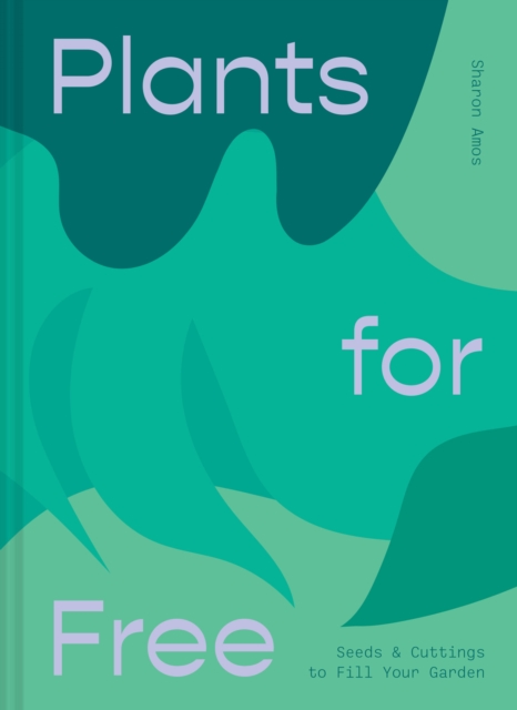
In this book, Sharon Amos explains how to design and create a beautiful garden for little or no money, offering tips on bartering for clippings, getting a bargain at garage sales or neighbourhood fairs, digging up suckers or adapting wild species and controlling them in a garden environment.
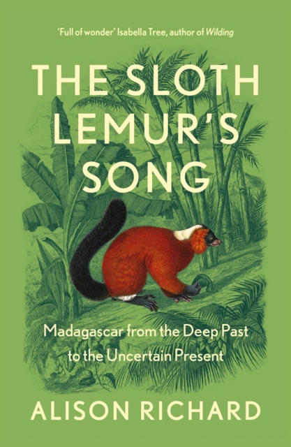
'Full of wonder and forensic intelligence' Isabella Tree, author of WildingA moving account of Madagascar told by a researcher who has spent over fifty years investigating the mysteries of this remarkable island.
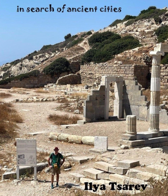
Many know Ilya as an artist, musician, writer, or athlete, but in this book, he reveals an unexpected side: an ancient historian and traveler, inviting readers on a fascinating journey through the ancient cities of Anatolia and Northern Cyprus.
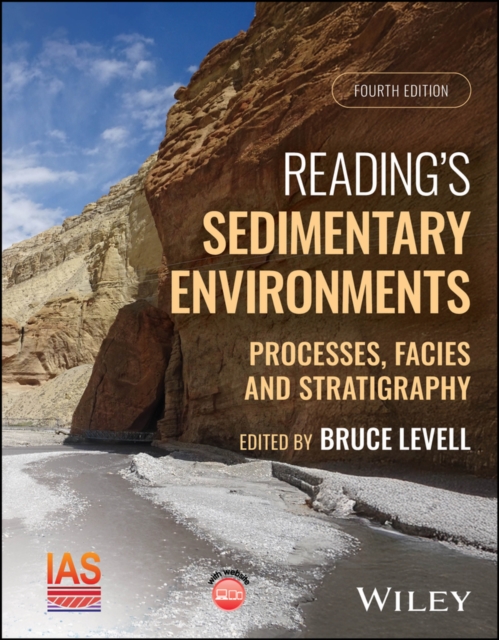
An all-new edition of one of the most influential books in the earth sciences, endorsed by the International Association of Sedimentologists Richly illustrated with hundreds of new images, this is a completely new edition of the well-known classic text Reading s Sedimentary Environments: Processes, Facies and Stratigraphy.
An autonomous vehicle speeding down a highway at 70 mph relies entirely on an array of external cameras to identify pedestrians and calculate distances.
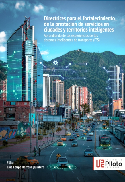
Este libro presenta directrices para la planificacion y desarrollo de ciudades y territorios inteligentes y toma como base experiencias alrededor de soluciones asociadas al despliegue de sistemas inteligentes de transporte.
Buscar la simplicidad puede llevarnos a una paradoja: desear algo sencillo y facil de usar, y que al mismo tiempo sea capaz de realizar todas aquellas tareas complejas que necesitamos que haga.
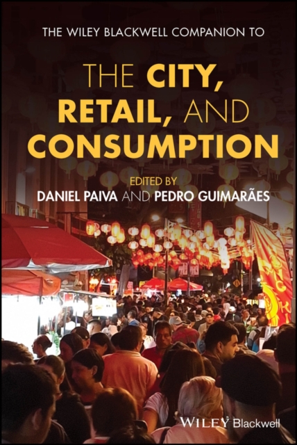
A comprehensive analysis of urban retail and consumption transformations across diverse global and under-represented contexts In an era defined by rapid urbanization, technological innovation, and shifting consumption patterns, The Wiley Blackwell Companion to the City, Retail and Consumption is an essential reference for scholars and practitioners alike.
La ensenanza de la geografia sigue enfrentando desafios significativos en contextos escolares y sociales, siendo percibida como un conocimiento mecanico y memoristico, lo que limita su relevancia en la educacion actual.
Vinos y vinedos reune una cuidada seleccion de dialogos que acercan el universo de la vitivinicultura a un publico amplio, combinando rigor tecnico con un lenguaje accesible y ameno.
Este libro surge de una serie de talleres y seminarios organizados por la Universidad Panamericana como parte de la Catedra Interamericana Laudato si'.
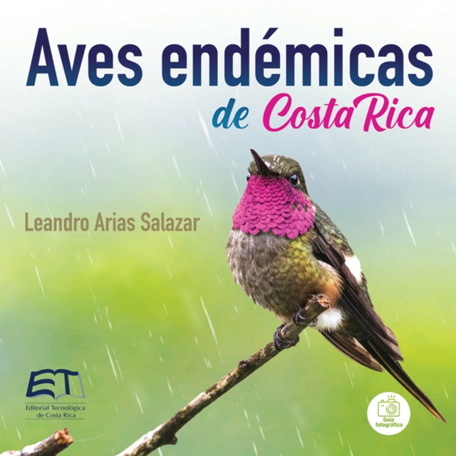
Para las personas que viven en Costa Rica o visitan el pais con el proposito de investigar, observar y fotografiar las aves silvestres, esta obra es un punto de partida fundamental.
A comprehensive analysis of urban retail and consumption transformations across diverse global and under-represented contexts In an era defined by rapid urbanization, technological innovation, and shifting consumption patterns, The Wiley Blackwell Companion to the City, Retail and Consumption is an essential reference for scholars and practitioners alike.
Agua, derechos humanos y gobernanzas busca ampliar la comprension del nexo entre estos tres elementos a partir de la integracion de una serie de categorias transversales como la bioculturalidad, los conflictos ambientales y la democracia ambiental.
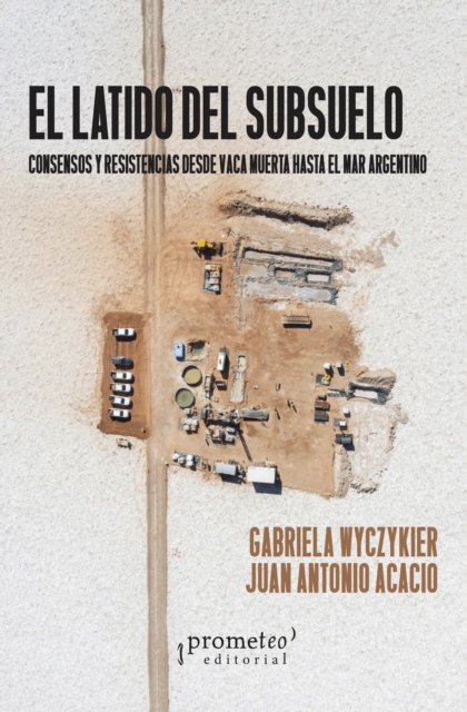
Este libro aborda la cuestion energetica en la Argentina, con especial atencion a la explotacion de hidrocarburos no convencionales en Vaca Muerta y a la expansion de la frontera fosil hacia el mar Argentino.
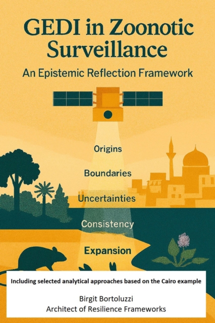
Governance Bridge between Earth Observation and One Health - Zoonoses do not arise randomly but at interfaces: between species, landscapes, ecological and human movements and between visible and invisible processes.
Los imaginarios que tenemos respecto a determinados territorios de nuestra ciudad se relacionan con proyecciones y experiencias tanto personales como colectivas.
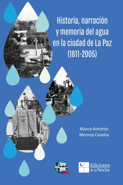
Este libro representa una valiosa aportacion al inventario documentado de las memorias del agua en Baja California Sur, en particular del puerto de La Paz.
Se presenta una relacion fisico-estadistica mundial entre manchas solares y columna total de ozono a partir de observaciones del numero de manchas solares del Centro Mundial de Datos para la Produccion, Preservacion y Difusion del Numero Internacional de Manchas Solares (Real Observatorio de Belgica) y durante mas de 43 anos de la Administracion Nacional de Aeronautica y el Espacio (NASA, por sus siglas en ingles) en cuatro misiones satelitales (1979-2022: Nimbus, Meteor, Earth Probe y Aura).