What if the most important forces in history aren't the generals, the ideologues, or the statesmen — but the narrow passages of water they're all fighting over?
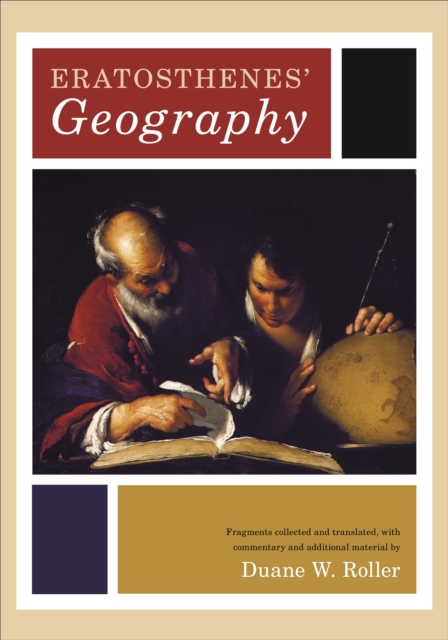
This is the first modern edition and first English translation of one of the earliest and most important works in the history of geography, the third-century Geographika of Eratosthenes.
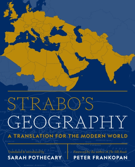
A lively new translation of Strabo's complete Geographyan encyclopedic guide to the ancient world of the first century CEconnecting it with the world of the twenty-first centuryStrabo's Geography is an encyclopedic description of the ancient world as it appeared to a contemporary observer in the early Roman empire.
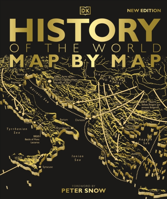
Witness our incredible human story unfold - from the very first people in Africa to the collapse of Communism and beyond - exquisitely charted map by map.
What if the greatest human containment zone in history isn't a myth, but a scientifically verifiable geological quarantine waiting to be rediscovered by modern orbital telemetry?
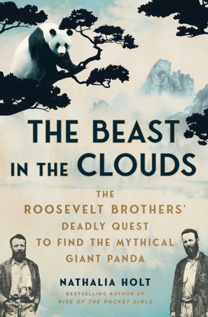
A New York Public Library Best Nonfiction Book of 2025 A New York Times Book Review Critics' Pick A Kirkus Reviews Best Nonfiction Book of 2025 Shortlisted for the Boardman Tasker Award for Mountain Literature ';A thrilling work of history that's wilder than fiction.
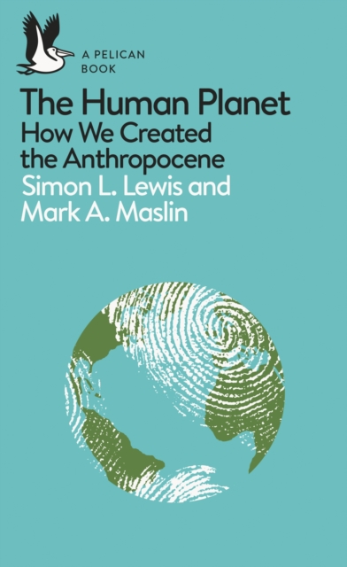
'Brilliantly written and genuinely one of the most important books I have ever read' - Ellie Mae O'Hagan An engrossing exploration of the science, history and politics of the Anthropocene, one of the most important scientific ideas of our time, from two world-renowned expertsMeteorites, methane, mega-volcanoes and now human beings; the old forces of nature that transformed Earth many millions of years ago are joined by another: us.
The revised and updated edition of Texas Then and Now features the most prominent locations from around the state, pairing vintage photographs with modern shots of the same sites today.
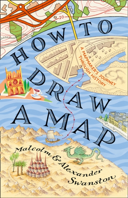
How to Draw a Map is a fascinating meditation on the centuries-old art of map-making, from the first astronomical maps to the sophisticated GPS guides of today.
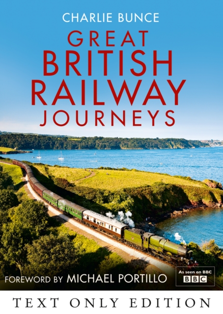
TEXT ONLY EBThe Sunday Times BestsellerA glorious insight into Britain over the last 150 years - its history, landscape and people - from the window of Britain's many and magnificent railway journeys.
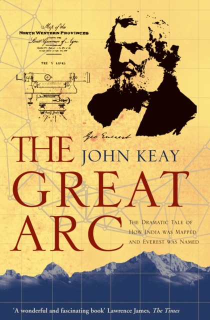
A vivid description of one of the most ambitious scientific projects undertaken in the 19th century, and the men who undertook the measurement of the Himalayas and the mapping of the Indian subcontinent: William Lambton and George Everest.
The Sunday Times BestsellerA glorious insight into Britain over the last 150 years - its history, landscape and people - from the window of Britain's many and magnificent railway journeys.
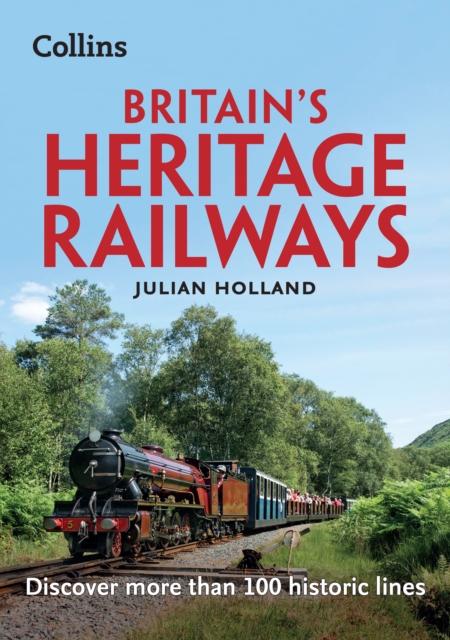
The essential guide to exploring Britain's last remaining historic lines, Britain's Heritage Railways is ideal for anyone planning or looking for a nostalgic railway trip.
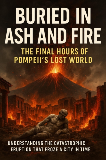
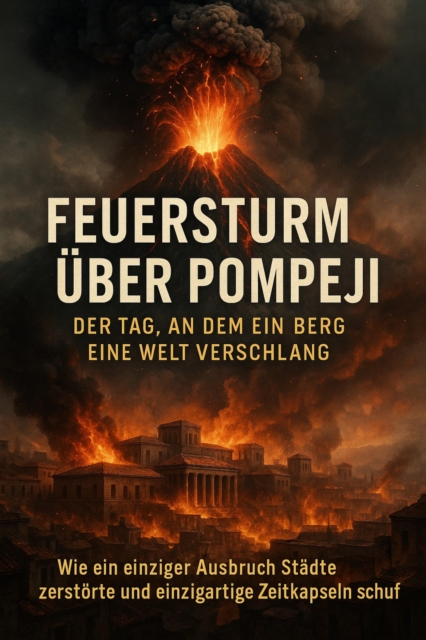
When Mount Vesuvius erupted in 79 CE, it unleashed one of the most devastating natural disasters ever recorded-obliterating cities, reshaping landscapes, and preserving a moment of Roman life with haunting clarity.
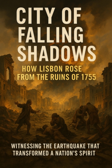
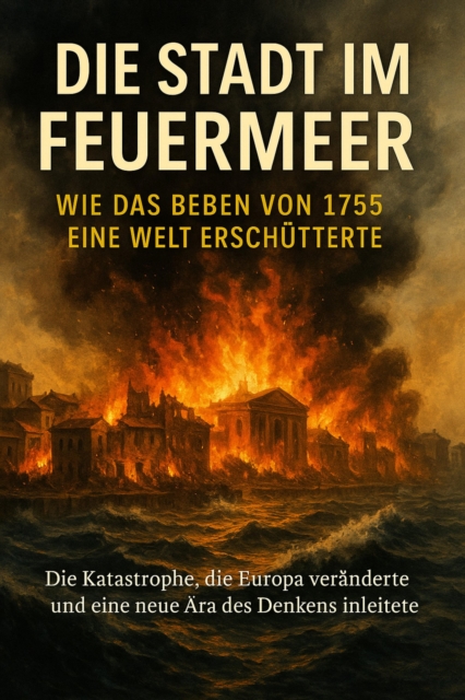
On the morning of November 1, 1755, Lisbon was shaken to its core-first by one of the most powerful earthquakes in European history, then by a devastating tsunami, and finally by fires that raged through the shattered city.
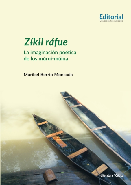
Zikii rafue: La imaginacion poetica de los murui-muina aborda una de las manifestaciones de la tradicion literaria de esta comunidad ancestral situada en las riberas del rio Igaraparana de la selva amazonica colombiana.
- Un viaje desde los primeros intentos por comprender el mundo de las civilizaciones de la Antiguedad, pasando por el advenimiento de la cartografia comercial y los progresos tecnologicos que permitieron a los atlas tratar casi cualquier tema, hasta las aplicaciones digitales que hoy pueden llevarse en el bolsillo.
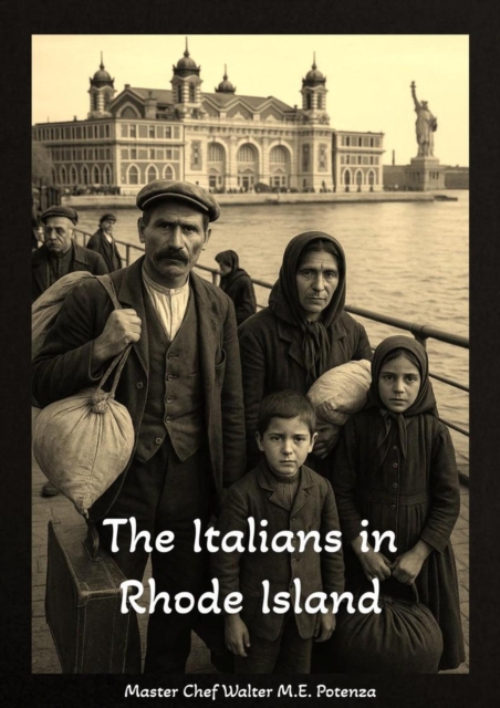
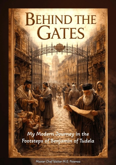
The Italians in Rhode Island: Story of immigration, integration, and assimilation into the fabric of Rhode Island's communities, business, and social relevance.
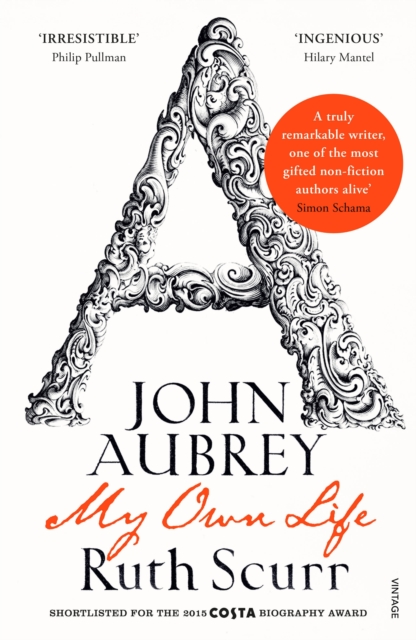
'A truly remarkable writer, one of the most gifted non-fiction authors alive' Simon Schama, Financial TimesSHORTLISTED FOR THE 2015 COSTA BIOGRAPHY AWARDThis is the autobiography that John Aubrey never wrote.
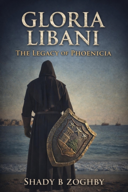
For five thousand years, the narrow strip of coast between the white peaks of Lebanon and the deep Mediterranean has served as the hinge of human progress.
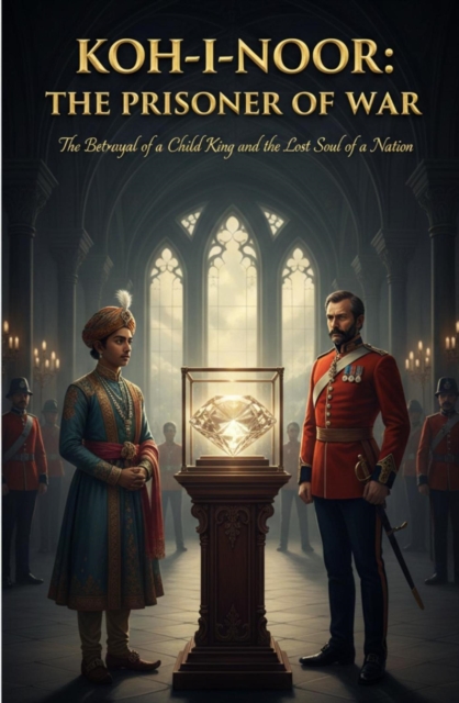
Koh-i-Noor The Prisoner of WarThe Fingerprints of a Child King and the Stolen DNA of a NationThe DNA of the SoilThe story of the KohiNoor does not begin in a kings treasury or on a battlefield it begins deep within the ancient womb of the Indian earth To understand this diamond one must first understand the soil that gave it birth This is not merely a geological occurrence It is as if the very essence of Bharat its spiritual energy and its elemental strength were compressed over billions of years into a single defiant spark of light When we speak of the KohiNoor we are speaking of a kidnapped fragment of our geography It is a piece of the motherland that was torn away yet it carries the silent vibrating frequency of the land it once called homeThe journey starts in the alluvial silts of the Krishna River specifically in the legendary Kollur mines Imagine the sweat and the hope of the ancient miners who waded through the mud their hands feeling for the pulse of the earth These people didnt just see stones they saw the blessings of the earth goddess The KohiNoor was born from this specific mineral DNA Science tells us that diamonds are formed under immense pressure and heat but the human heart knows that this particular stone absorbed the prayers the struggles and the vibrations of an entire civilization It is a mineral witness to the rise and fall of dynasties but its core remains tethered to the Indian sun