'Unflinchingly candid and extraordinarily powerful' DAILY TELEGRAPH'Dominic Gregory hasn't just delivered a survey of courage and determination - Lifeboat at the End of the World is a hymn to human decency, and that makes it a very timely book indeed' TIM WINTONDo you really think all lives are worth saving?
A fascinating journey through more than 5,000 years of seafaring history in this essential guide to the most impressive seafaring tales, explorers, and maritime environments.
**THE SUNDAY TIMES TOP TEN BESTSELLER****WINNER OF THE NERO AWARDS GOLD PRIZE BOOK OF THE YEAR****A BARACK OBAMA BOOK OF THE YEAR** An extraordinary true story of shipwreck, survival and love'An enthralling, engrossing story of survival' Bill Bryson An absolute jewel of a book India Knight A gripping tale of adventure Elizabeth Day An extraordinary survival story Sunday TimesBored of 1970s suburban life, Maurice and Maralyn plan their escape: sell the house, build a boat, set sail for New Zealand.
The dramatic human story of an epic scientific quest: the search for the solution of how to calculate longitude and the unlikely triumph of an English genius.
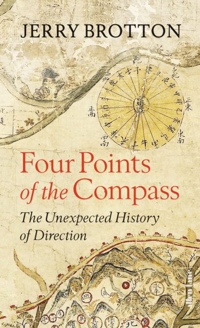
A sparkling exploration of direction, by the acclaimed author of A History of the World in 12 MapsNorth, south, east and west: almost all societies use the four cardinal directions to orientate themselves, to understand who they are by projecting where they are.
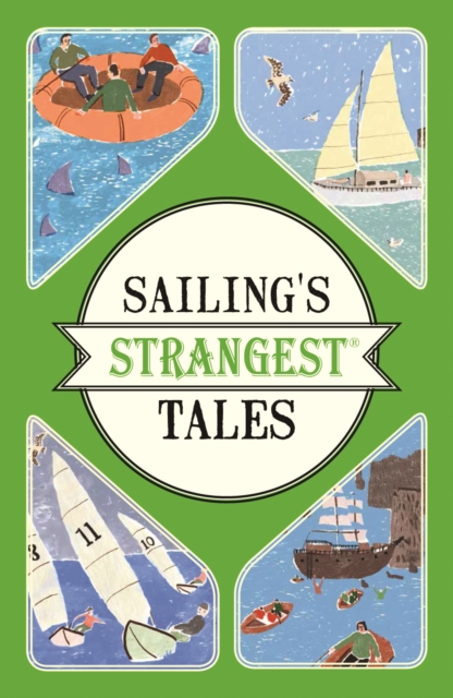
This fascinating collection of entertaining stories from the seven seas reveals unusual and bizarre sailing trips, vessels and characters, and recounts perilous journeys in freak weather and other legendary tales.
Backpacker's Using a GPS: Digital Trip Planning, Recording, and Sharing isa complete guide to the digital mapping revolution including how to do it and how to join it.
BASIC ILLUSTRATED MAP AND COMPASSWilderness guide Cliff Jacobson created the map and compass curriculum for the Minnesota Department of Natural Resources, and here he shows easy-to-follow steps on choosing a compass, reading contour lines and other map features, using them in concert with a GPS receiver, plotting a course in the wilderness, navigating at night by the stars, and much more.
An unparalleled illustrated history of spherical trigonometry from antiquity to todayHeavenly Mathematics traces the rich history of spherical trigonometry, revealing how the cultures of classical Greece, medieval Islam, and the modern West used this forgotten art to chart the heavens and the Earth.
Die Historie der britischen Traditionsreederei ist eng verknüpft mit Ereignissen der Weltgeschichte: der Auswanderung nach Amerika, der Ära der Goldenen Zwanziger, zwei Weltkriegen, Wirtschaftswundern und den Swinging Sixties bis hin zur Renaissance der Kreuzfahrt im neuen Jahrtausend.
Einfach schneller segelnBei einer Regatta gibt es zwei Kriterien, die über Erfolg oder Niederlage entscheiden: die Bootsbeherrschung des Seglers und der Trimm des Bootes.
Ingenieur und Segler Marchaj betrachtet die zur Seetüchtigkeit beitragenden Entwurfsmerkmale, untersucht aber auch, was mit dem heutigen Konzept der seegehenden Rennyacht oder vorgeblichen Tourenyacht fehlgelaufen ist und warum es dazu kam.
Auf einem klapprigen und krächzenden Motorboot fährt Gaviero Maqroll flussaufwärts durch den Dschungel des Xurandó, um sich im Holzhandel zu versuchen.
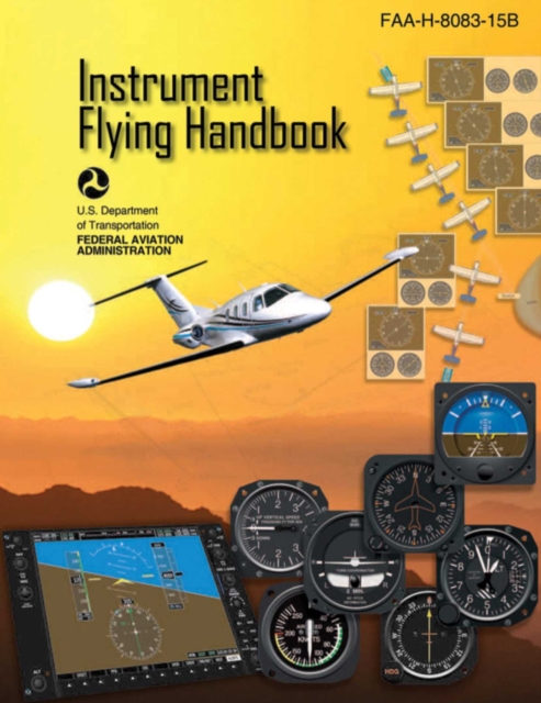
Designed as a technical reference for instrument-rated pilots who want to maximize their skills in an "e;Instrument Flight Rules"e; environment, the Federal Aviation Administration's Instrument Procedures Handbook contains the most current information on FAA regulations, the latest changes to procedures, and guidance on how to operate safely within the National Airspace System in all conditions.
The Pilots Handbook of Aeronautical Knowledge is an official Federal Aviation Administration (FAA) Handbook that provides basic knowledge that is essential for pilots.
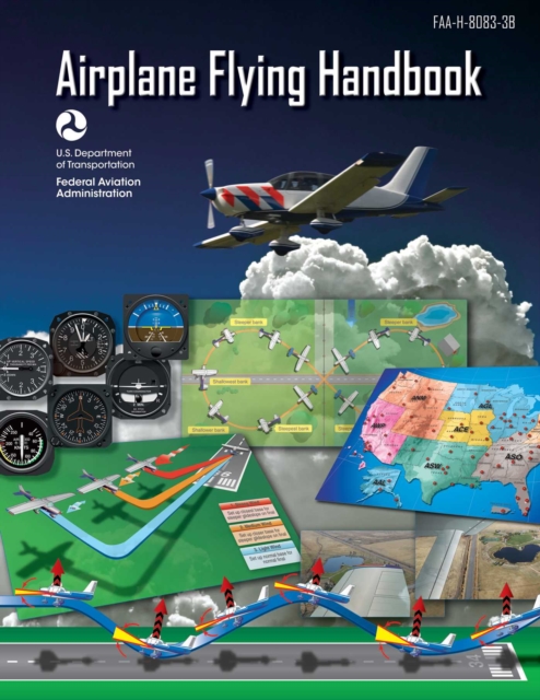
The Federal Aviation Administrations Airplane Flying Handbook provides pilots, student pilots, aviation instructors, and aviation specialists with information on every topic needed to qualify for and excel in the field of aviation.
BASIC ILLUSTRATED MAP AND COMPASSWilderness guide Cliff Jacobson created the map and compass curriculum for the Minnesota Department of Natural Resources, and here he shows easy-to-follow steps on choosing a compass, reading contour lines and other map features, using them in concert with a GPS receiver, plotting a course in the wilderness, navigating at night by the stars, and much more.
An unparalleled illustrated history of spherical trigonometry from antiquity to todayHeavenly Mathematics traces the rich history of spherical trigonometry, revealing how the cultures of classical Greece, medieval Islam, and the modern West used this forgotten art to chart the heavens and the Earth.
Backpacker's Using a GPS: Digital Trip Planning, Recording, and Sharing isa complete guide to the digital mapping revolution including how to do it and how to join it.
All the expert guidance you need to understand, build, and operate GPS receivers The Second Edition of this acclaimed publication enables readers to understand and apply the complex operation principles of global positioning system (GPS) receivers.
How to build and operate GPS receivers-a working resource for engineers While GPS receivers abound in numerous applications, much of the information on their design is scattered in disparate and hard-to-find places.
The only comprehensive guide to Kalman filtering and its applications to real-world GPS/INS problems Written by recognized authorities in the field, this book provides engineers, computer scientists, and others with a working familiarity with the theory and contemporary applications of Global Positioning Systems (GPS), Inertial Navigational Systems, and Kalman filters.
Discover the enthralling story of the HMS Queen Elizabeth, the Royal Navy's largest ever aircraft carrier and SUBJECT OF THE MAJOR NEW BBC DOCUMENTARY SERIES THE WARSHIP'Fascinating, often funny and sometimes moving .